White Mountains, NH
Bethlehem
8/21/16 to 8/27/16
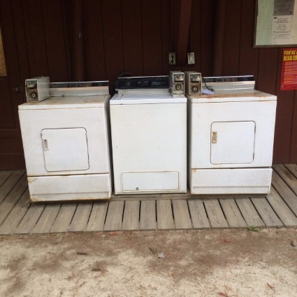
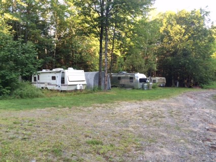
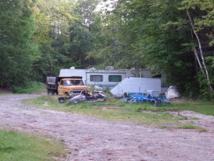
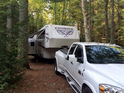
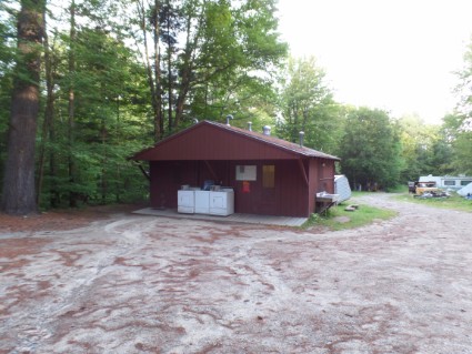
Sunday 8/21/2016 The trip from Burlington, VT to Bethlehem, NH was only 110 miles and took us about 3 hours. We took a lot of back country roads where I was only going 40 mph. But the trip was nice, lots of tree covered mountains and rivers. Beautiful country in Vermont and New Hampshire. We made reservations at Apple Hill Campground for 4 nights. This campground is near The White Mountains and within an hours drive to a lot of things we wanted to see. After reading reviews for this place I knew it wasn't going to be very nice. But it had full hookups and it was cheap. As I mentioned in my last post, all we need is a place to park with electric and water. Well, that's about all we got. The gravel roads in the campground are full of potholes, trailers are close together, there's a bunch of junk trailers here, and the bathrooms are unusable. But who cares, we have everything we need in our trailer and the location is great. (and again, it's cheap) We got set up and just relaxed the rest of the day. It started raining around 6 PM and rained all night. At least our site was nice. Lots of trees and felt like we were in a state park.
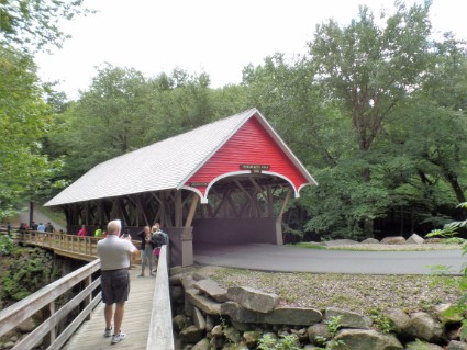
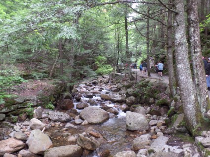
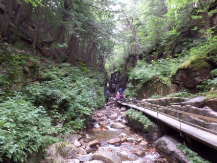
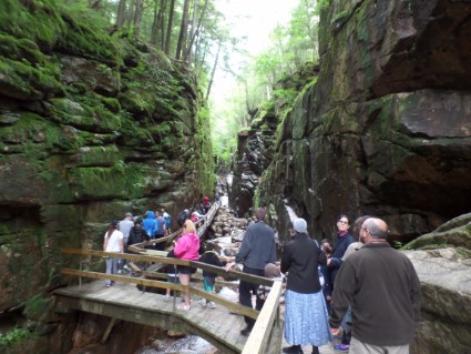
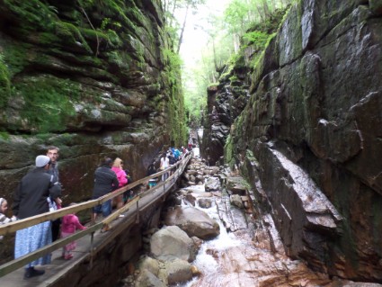
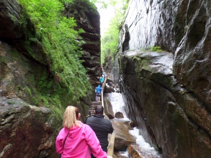
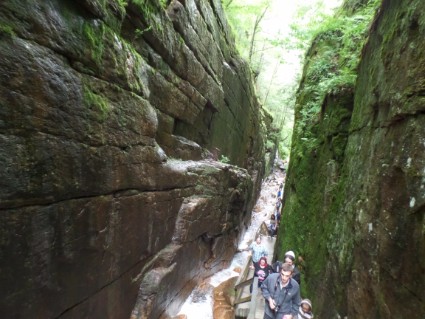
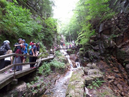
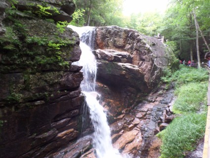
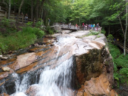
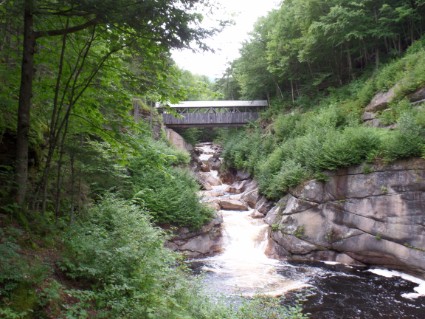
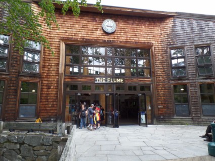
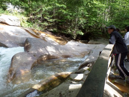
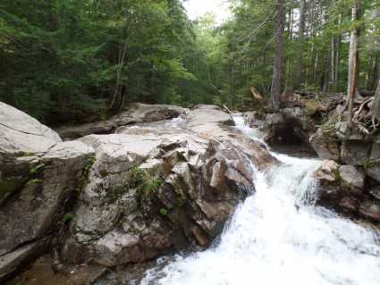
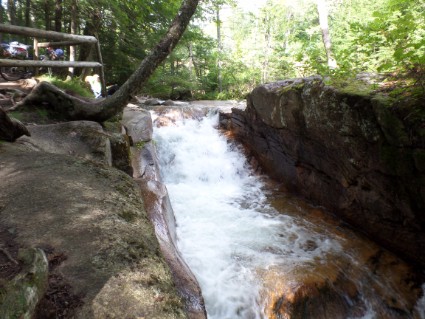
Monday 8/22/16 There’s a state park just down the road called Franconia Notch State Park with tons of hiking trails and other things to do. The first place we visited was the Flume Visitors Center and then we walked the Flume Gorge. The Flume is a natural gorge extending 800 feet at the base of Mount Liberty. The walls are granite and rise to a height of 70 to 90 feet and are 12 to 20 feet apart. This is a very popular walk and the place was packed, even on a cloudy Monday morning. Traveling through the gorge was almost a single file line. It’s a nice place to see but also very short. Watkins Glen in New York was much better. Once you get to the top of the gorge you follow a gravel trail through the forest and near other steams back to the start.
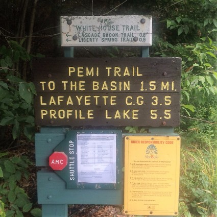
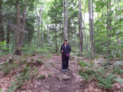
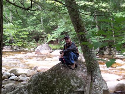
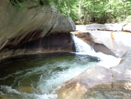
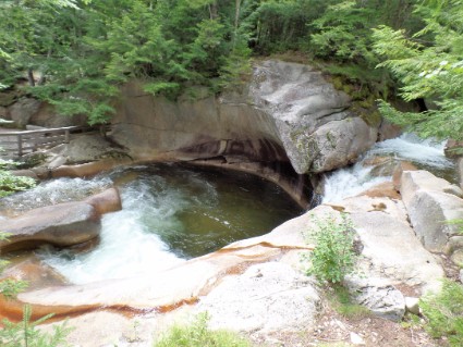
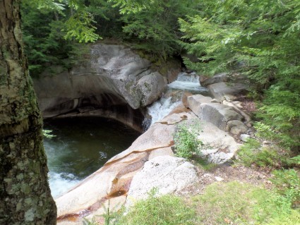
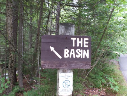
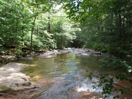
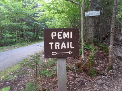
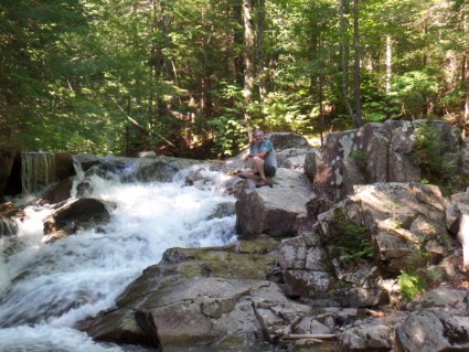
After we walked the Flume Gorge we drove about a mile down the road to a trailhead. We saw a sign that said Appalachian Trail and wanted to walk a little on that. We really didn’t know where we were going and didn’t have a trail map so we figured we would walk as far as we wanted and turn around. The trail started out as a dirt and rock path. After about a mile we came upon a blacktop trail that had bikers and hikers. The Appalachian Trail follows this trail for awhile and then veers off. We followed that path for a couple of miles and ended up at The Basin. The Basin is a big granite pothole at the base of a waterfall. Again, a popular spot with lots of people. We walked along the river for a while and got some beautiful pictures. We then turned around and walked back to the trailhead where we parked the truck. We ended up hiking (according to Rose’s Fitbit) 9.6 miles and did 95 flights of steps.
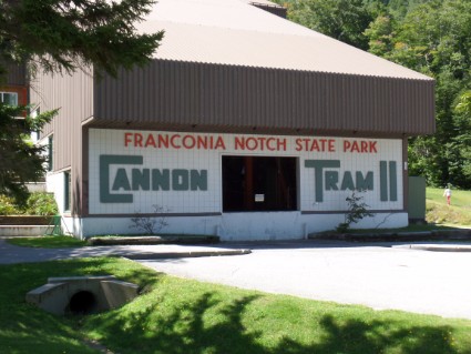
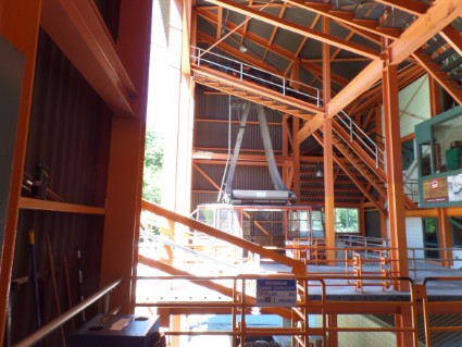
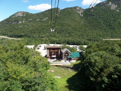
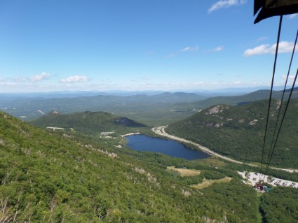
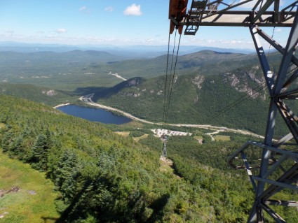
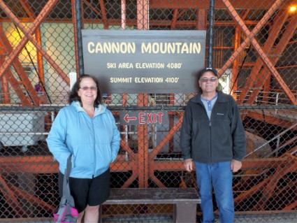
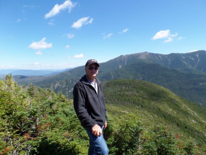
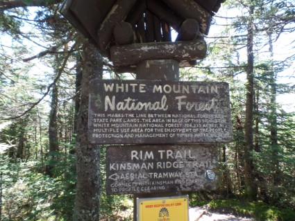
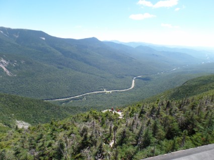
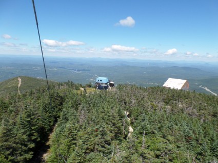
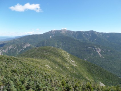
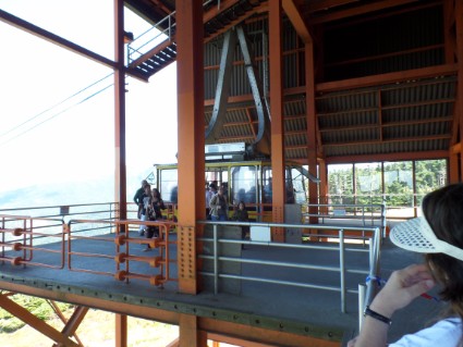
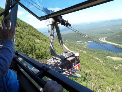
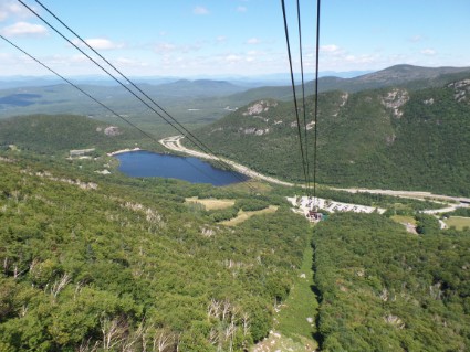
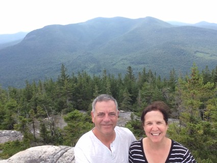
Tuesday 8/23/16 Yesterday when we visited the Flume Gorge we purchased a combo ticket that included the Flume Gorge and a ride on The Cannon Mountain Aerial Tramway. Since it rained and got cold the night before we decided to hold off on the Tramway. We wanted to go on a clear day so we could get good views from the top of the mountain. Well, it cleared up today so we decided to go. The aerial tramway is one of New Hampshire’s most spectacular rides. The tramway takes visitors to the 4180′ summit of Cannon Mountain. On a clear day, you can enjoy views of the mountains of New Hampshire, Maine, Vermont, Canada, and New York. At the summit, there’s also a walking path called the Rim Trail and an observation deck. The ride up was nothing special but once we got to the top, wow the views were really nice. I’m glad we waited a day for this ride. We walked around the rim trail climbing onto boulders and taking pictures and then went up on the observation deck for more pictures. Check out some of the views below.
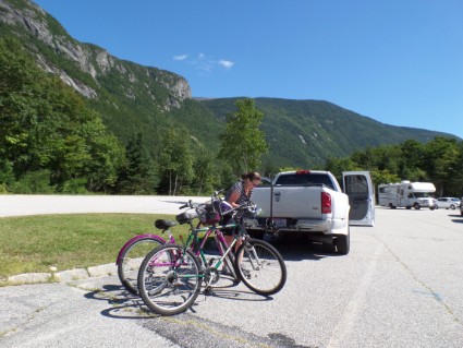
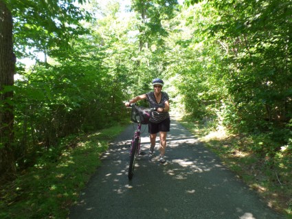
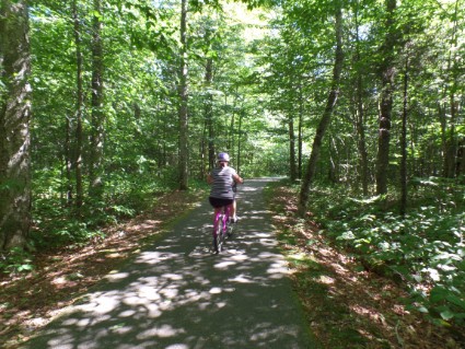
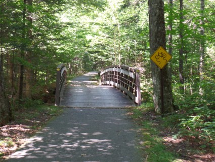
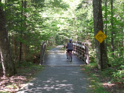
Yesterday when we were hiking we saw a lot of people riding on the bike path. We weren’t sure where it started or ended but I picked up a map at the Flume and saw that it went right by the Cannon Mountain Tram. In the morning we loaded up the bikes on the back of the truck. After the tram ride, we just unloaded them in the parking lot and hit the trail. It’s a very nice bike path. It runs the length of Franconia Notch State Park and is blacktopped the whole way. We decided to take it from the tram parking lot to The Basin which we visited yesterday. That would be about 9 miles round trip. There was only one problem. The section we wanted to ride followed a fast moving steam. Since water flows downstream it was 4-1/2 miles downhill and then 4-1/2 miles uphill. We had a great time riding to the Basin but a very hard time riding back. There were a few sections coming back where we had to walk the bike. So I would say we rode 7-1/2 miles and walked 2 miles.
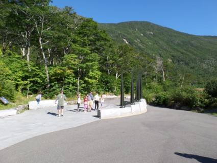
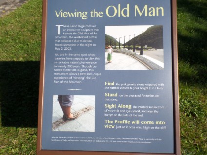
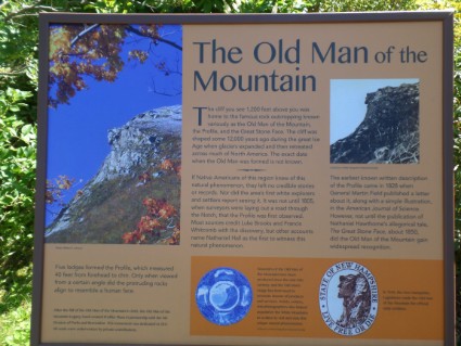
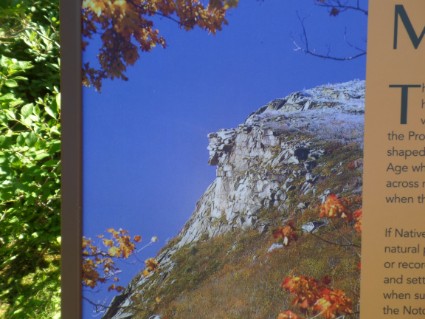
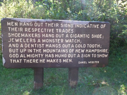
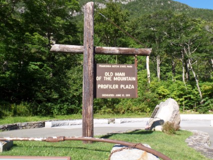
We also visited the Old Man Historic Site. The Old Man of the Mountain, also known as Great Stone Face or the Profile, was a series of five granite cliff ledges on Cannon Mountain that appeared to be the jagged profile of a face when viewed from the north. The rock formation was 1,200 feet above Profile Lake and measured 40 feet tall and 25 feet wide. The profile has been New Hampshire’s state emblem since 1945. It was put on the state’s license plate, state route signs, and on the back of New Hampshire’s Statehood Quarter. Sadly it collapsed in 2003. So now there is an Old Man of the Mountain Memorial. They put up metal poles with the face on them and if you stand on a certain spot and look at the mountain it shows you how it looked before it collapsed.
Wednesday 8/24/16 ONE MONTH ON THE ROAD!
There’s so much to do in this area I booked another 3 days at this campground.
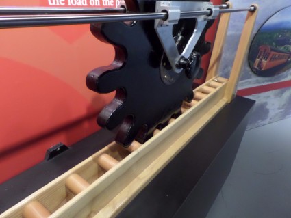
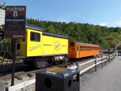
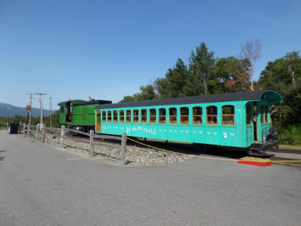
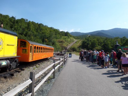
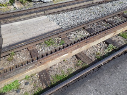
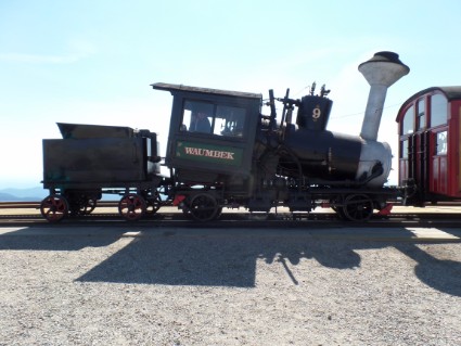
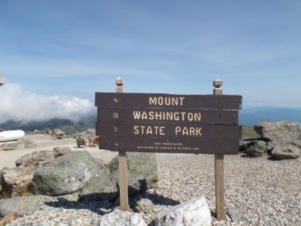
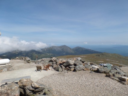
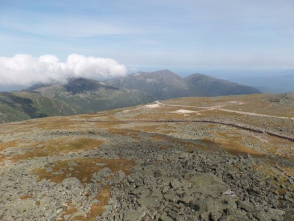
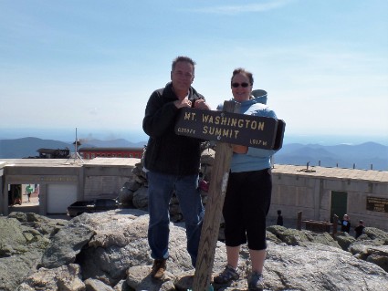
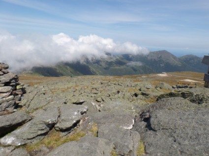
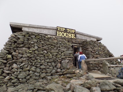
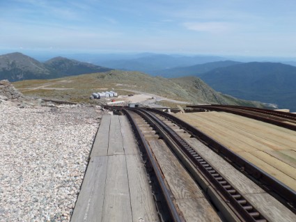
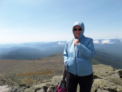
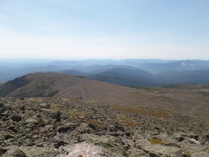
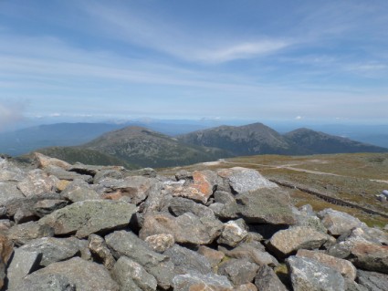
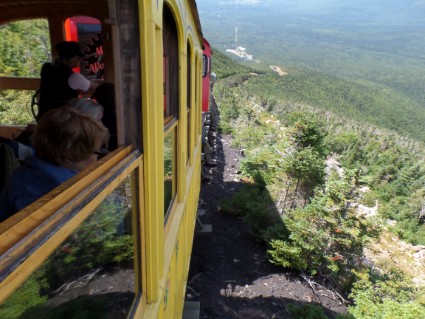
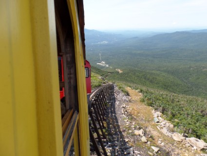
Today we went to The Mount Washington COG Railway. The Mount Washington Cog Railway is the world’s first mountain-climbing cog railway. The train uses a special third rail that that is mounted between the other two rails that the wheels of the train ride on. A COG wheel fits into this third rail and actually pulls the locomotive up the mountain. The track has an average grade of over 25% and a maximum grade of 37%. I know that doesn’t sound like much but on the way up all the trees look like they are growing at an angle. But it was really us sitting at an angle. It was originally built in 1869 and used coal-fired steam locomotives but today they use Bio-Diesel locomotives. Although for nostalgia they run the steam locomotive for the first trip of the day. It’s a three-hour trip. About one to get up to the 6288′ Mount Washington Summit, one hour at the summit and an hour for the trip down. It was around 75 degrees when we started and about 55 and very windy at the top. It was mostly clear that day and we took a lot of pictures from the top. It was a great experience to ride the COG.
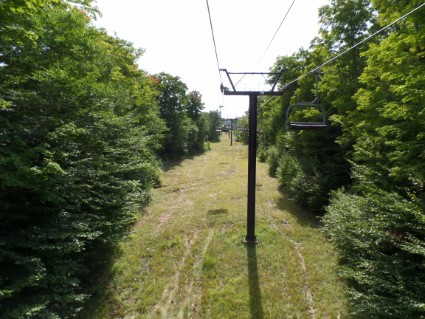
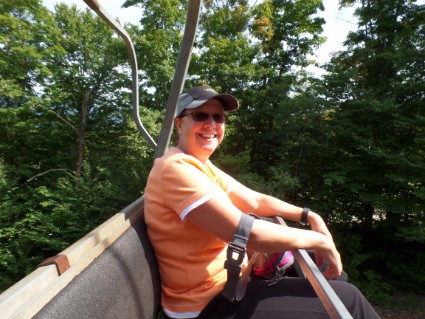
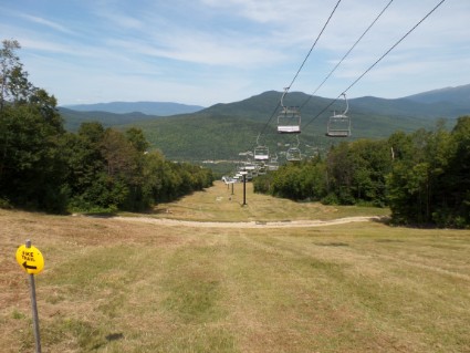
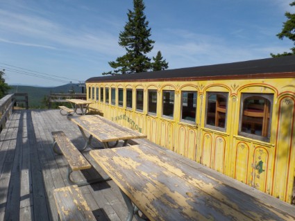
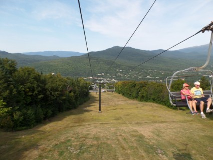
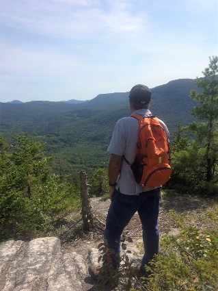
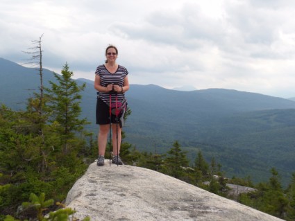
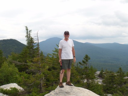
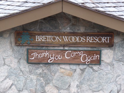
As we were getting off the train the conductor told us about a ski resort just down the road that gives free ski lift rides and has hiking trails so we decided to check it out. (I later found out that the COG and the ski resort are owned by the same people) The resort is called Bretton Woods and it’s the largest ski resort in New Hampshire. We ended up riding the ski lift and then hiking a short trail to one of the summits. The hike was mostly uphill. We had packed a lunch that morning and ate at an old train car from the COG Railway that they use for a warming hut in the winter. After our lunch, we headed back down. Once at the bottom, we looked at the trail map and realized that we didn’t even make it to the top! The best views were another 300 yards from where we ate. Oh well, maybe next time.
Once back down and in the lodge we picked up some brochures on the summer activities this place offers. Pretty smart for a ski resort to offer fun summer activities. They offer free scenic lift rides, kids go kart park, disc golf, a racing zip line, archery, a climbing wall, river tubing, a kids adventure playground, mountain biking, ATV rides and A CANOPY ZIP LINE TOUR! We made reservations for the next day.
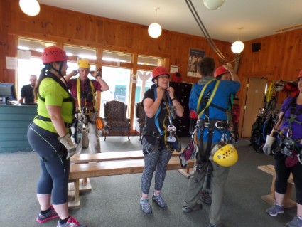
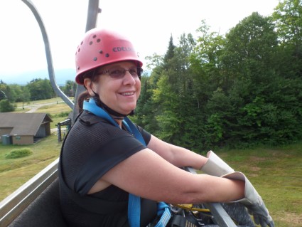
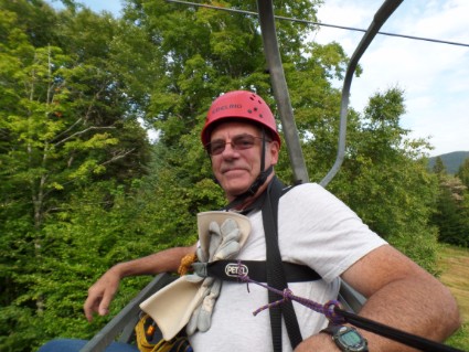
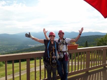
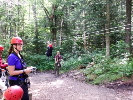
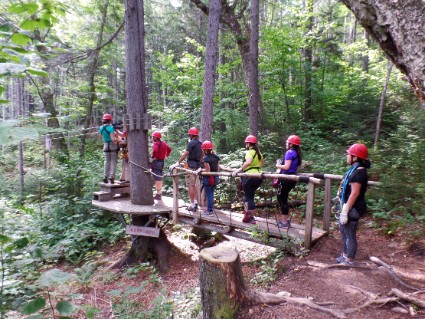
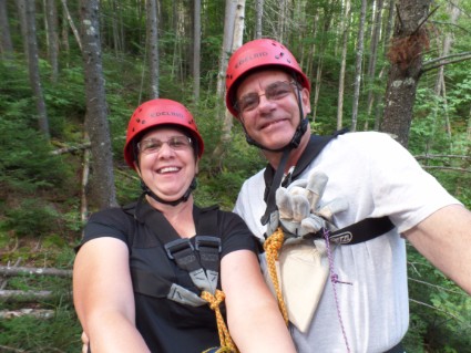
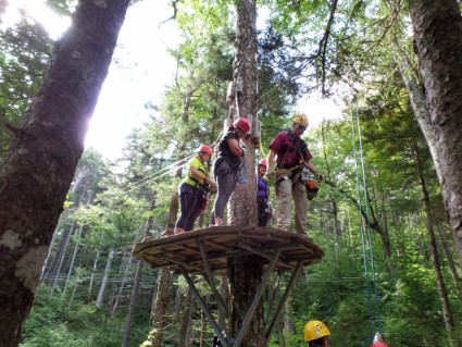
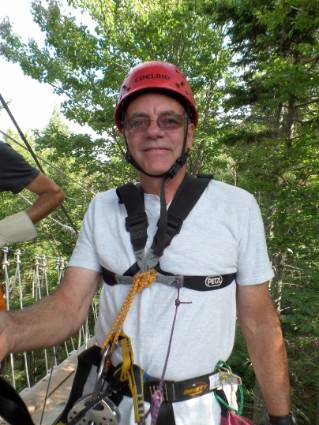
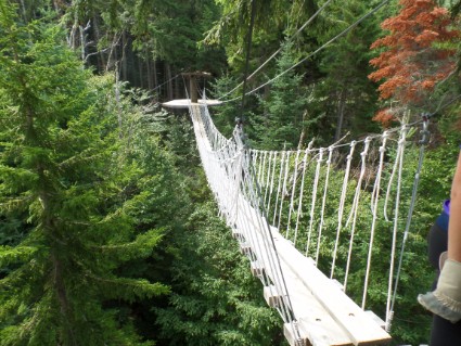
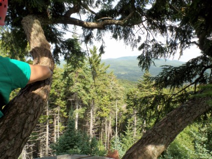
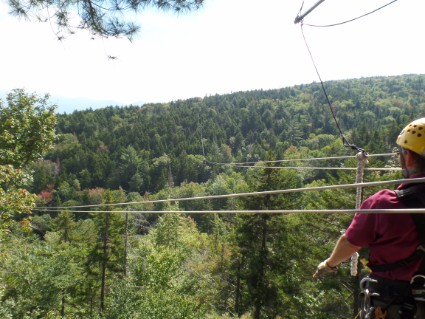
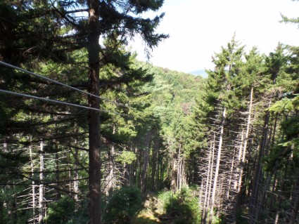
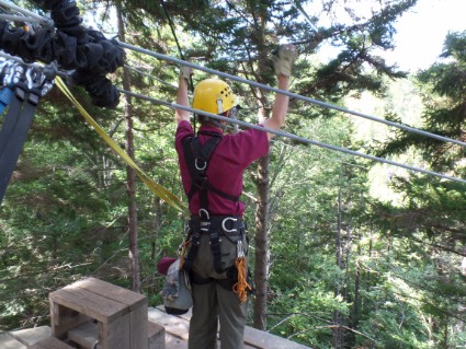
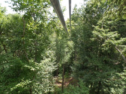
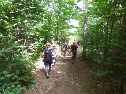
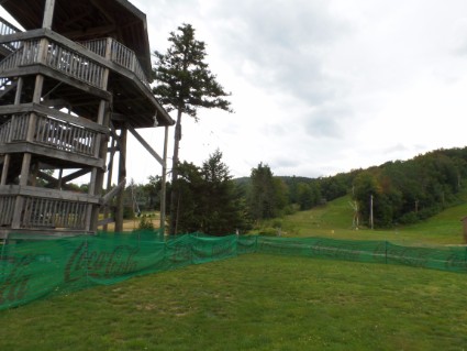
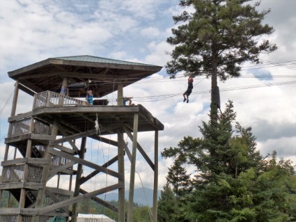
Thursday 8/25/16 Yes, another Zip Line. We had so much fun on the last one we decided to do it again! We just couldn’t pass this one up. It had 9 zip lines, 3 rappels and 2 sky bridges. It was 3 hours long and the zip lines were a lot higher than the last place we were at. They take you up on the ski lift and you zip through the trees, and over trees and ski trails. It was great! The 2 guides we had were older and very professional but didn’t have as funny a personality as the younger guides on our last zip tour. After we got off the ski lift we walked a short distance to “ground school”. This is where they make sure you understand the basics like hand signals, braking, rules, and safety. The ground school cable is only a couple feet off the ground. What was great about this place is that the zips got longer as we went along. There were times when we were standing in a tree 60 feet high and zipping downhill over trails 100 feet below. It was so much fun and the views were amazing! Out of the 8 in our group, only one was a first timer. After our tour was over they also let us ride the racing zip line. This is completely different than the canopy tour. On this zip line you just hang on and they stop you at the bottom. Very quickly. I raced Rose and I think I won but she says it was a tie. Again, this was a blast and if you are anywhere near Bretton Woods Ski Resort you’ve got to do this!
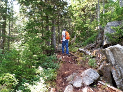
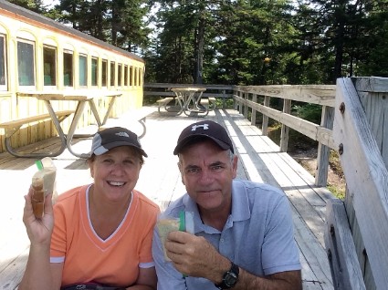
After our zip lining, we decided to finish the trail that we did yesterday. We took the chairlift up to the top again, ate our lunch on the deck and then started the trail. This time we knew where we were going and got to the best lookout points. Bretton Woods – a great place to visit!
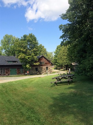
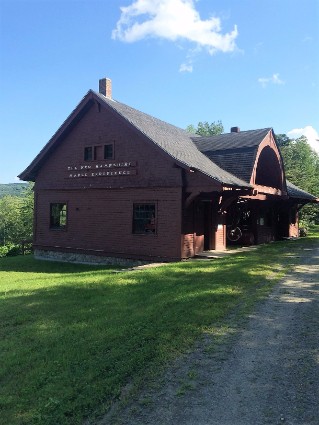
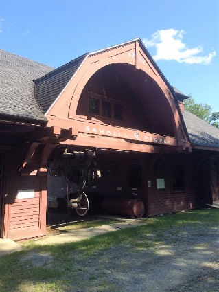
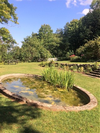
Friday 8/26/16 When we woke up it was raining so we did a little house cleaning in the trailer. Then I worked on this blog and Rose worked on her puzzle. It cleared up in the afternoon so we went for a ride. Almost every day when we left the campground we passed a sign that pointed to The Rocks Estate. We really didn’t know what it was but the sign also said “All Trails Open”. It was just down the road so we decided to go there. It was a Historical walk through John & Frances Glessner’s Rocks Estate. As the story goes, John Glessner was a wealthy businessman in the late 1800s and bought over 1000 acres of land near Bethlehem for his summer home. He was from Chicago and was the co-founder of International Harvester. Over the years, the Glessners constructed various buildings, built elaborate gardens and added land to their Rocks Estate. In 1978, John and Frances Glessner’s grandchildren donated the 1,400-acre Rocks Estate, including 22 buildings, to the Forest Society. We walked around the property checking out what was left of the buildings. Funny thing was that nobody else was there. A wedding was planned on the property the next day and there were people setting things up for that, but other than them we had the place to ourselves. It was pretty nice but needed a lot of work. They use most of the empty farmland to grow Christmas trees and also tap the maple trees on the property for syrup. The profits from these probably go to the upkeep of this place. It must have been a spectacular place in the late 1800s. Anyway, it was free and we spent a couple hours there.
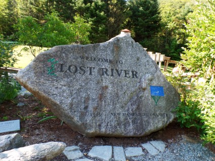
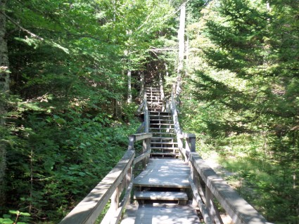
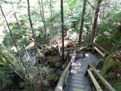
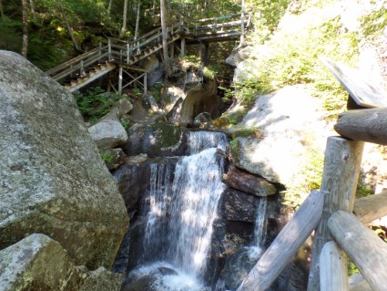
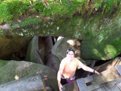
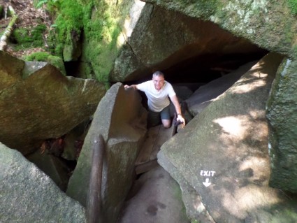
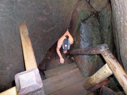
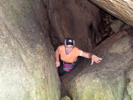
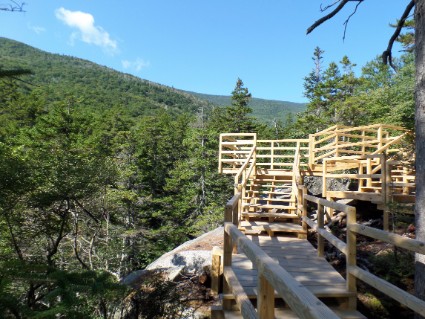
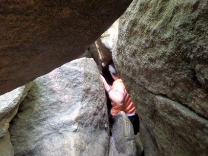
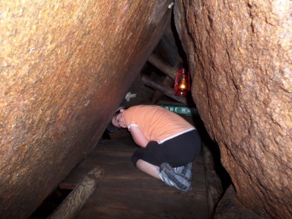
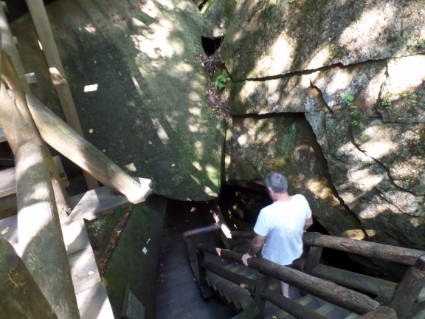
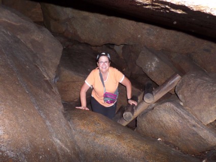
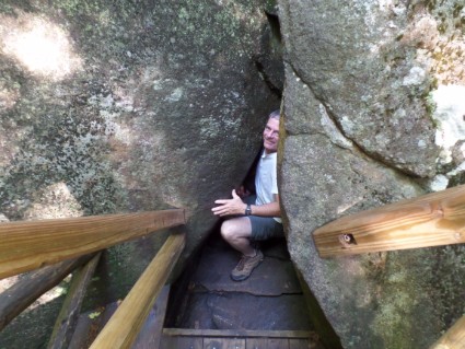
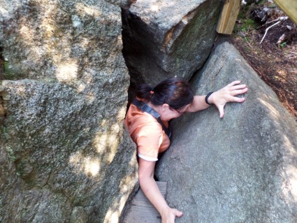
Saturday 8/27/16 This was our last full day in the White Mountains so we had to do something. Looking through all the literature that I picked up over the last week we decided to check out The Lost River Gorge & Boulder Caves. When I first read about this place I just thought it was another tourist trap. But it turned out to be great. Even better than the Flume Gorge that we did the first day here. We really had a good time. It’s a walk through a gorge with gigantic boulders that a river runs through. The reason they call it The Lost River is that in some parts, the river flows below the boulders and you can’t even see it. You walk through this place on a boardwalk with about 1000 steps. This boardwalk is pretty amazing. It twists and turns and goes around, over and even under some of the boulders. The reason we had such a great time is that they also have caves that you can crawl through and some of them are pretty tight. One of them is called “The Lemon Squeezer”. You have to crawl on your belly to get through that one because it only has 18″ of clearance. We got there just a couple minutes after they opened so it wasn’t very crowded and we had plenty of time to play around. Being a woodworker I was really impressed with the workmanship of the walkway. It was amazing how they constructed it, they even cut around trees and let them grow through the walkway. Check out some of the pictures of us squeezing in and out of the caves.
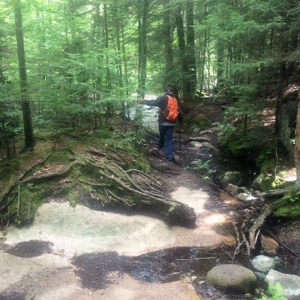
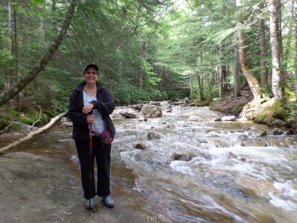
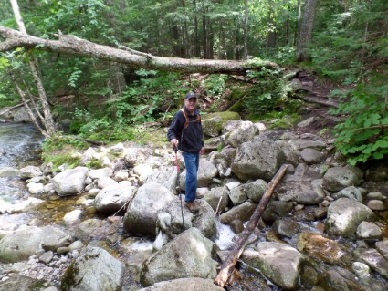
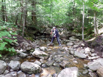
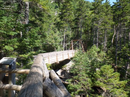
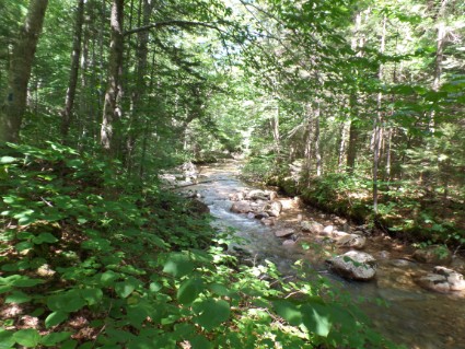
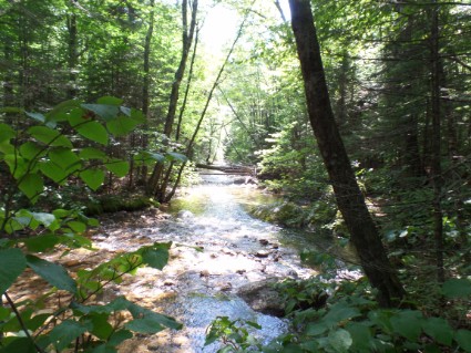
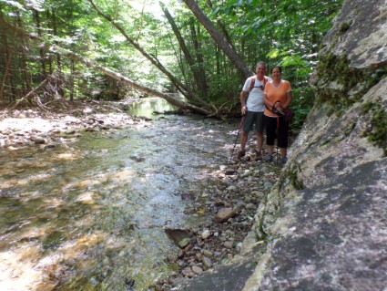
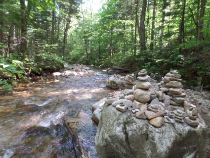
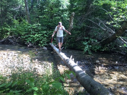
After The Lost River Caves, we decided to go back to The Basin and hike a different part of the Pemi Trail. This part of the Pemi Trail follows the same river that the bike path follows but on the opposite side. We walked from The Basin to the Lafayette Campground and back. Total for the day was just over 8 miles and 44 flights of steps. Check out Rose’s river crossing below.
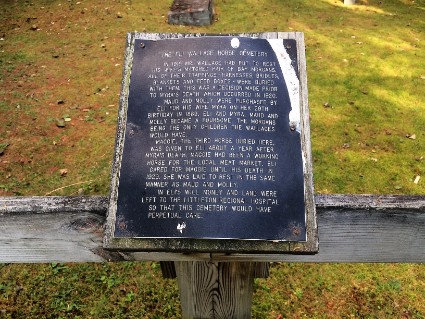
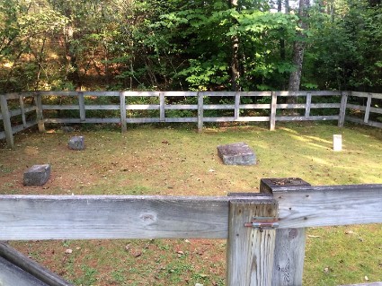
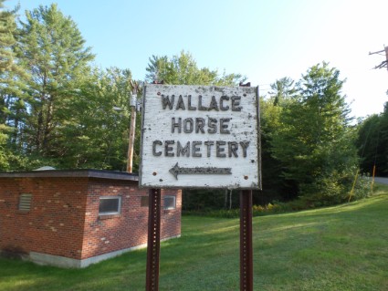
Later that day we ran into town to do some grocery shopping and fill the truck with diesel fuel. We had seen on tripadvisor.com that there was a horse cemetery close to town so we went looking for it. We had a hard time finding it and it really wasn’t much to see but here are a couple pictures. They must have really loved their horses. They left money in their will for perpetual care. It’s been almost 100 years.
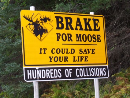
Sunday 8/28/16 Whew, a whole week in one place. We sure got to see and do a lot in The White Mountains of New Hampshire. What a beautiful place. Today we packed up and headed to Palmyra, Maine. Just two more pictures of a couple things we don’t see in Ohio.
Questions or comments? Contact us today.
