Millinocket and Baxter State Park is a great place to get away from it all and enjoy nature. We’ve seen things here that we have never seen anywhere else. But I’m really disappointed we couldn’t get deeper into the park to see more. Tomorrow we head back to Palmyra, Maine.
Millinocket, Maine
Katahdin & Baxter State Park
9/1/16 to 9/5/16
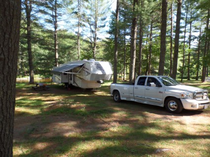
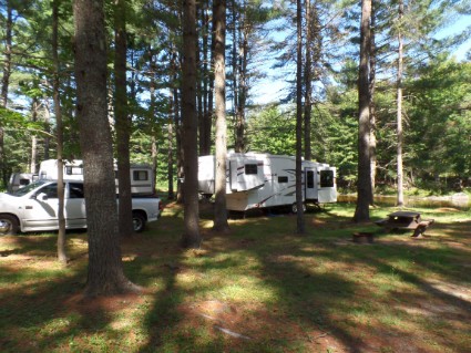
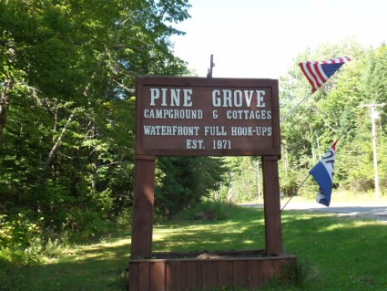
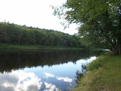
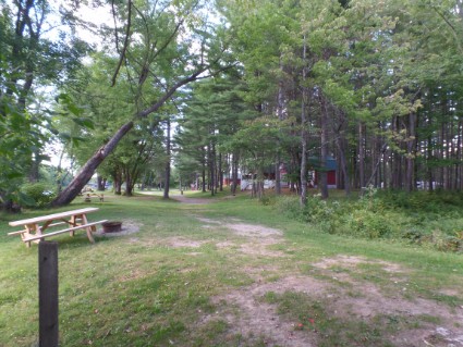
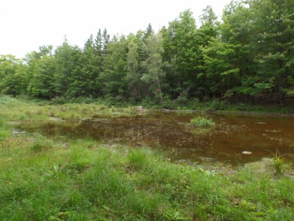
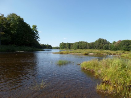
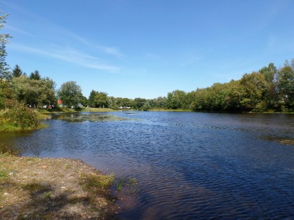
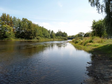
Thursday 9/1/16 It was a short two-hour drive from Palmyra to Millinocket and most of it was interstate. So we just cruised along at 60 mph. We reserved 5 nights at Pine Grove Campgrounds, which will get us through Labor Day. I guess this is a busy area over the holiday because out of four places I called this was the only place that had room for us. The campground is located about 10 minutes off the interstate and about 35 minutes from Baxter State Park and Mt. Katahdin. It’s a small place located in the woods between a river and a pond. The back of our site was right up against the pond. Actually, the pond looked like more of a swamp to me. Nothing special, a little run down, the bathrooms and showers were usable. They did have a couple canoes and kayaks that we could use on the river for free. From the pictures, it looks empty but it filled up pretty well on Friday for the long weekend.
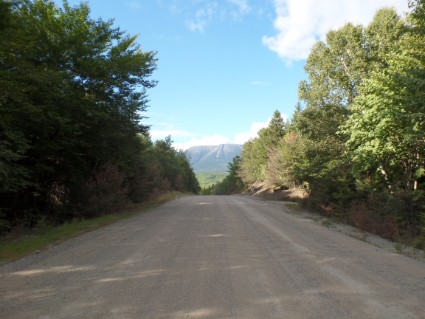
I asked the woman at the desk about hiking in Baxter State Park and she suggested I stop at the Millinocket Chamber of Commerce in town. We headed into town looking for information. Millinocket is the major point of entry into the North Maine Woods which is mostly a working forest, as well as home to Baxter State Park and Mt. Katahdin. Katahdin is Maine’s highest mountain and the end (or beginning) of the Appalachian Trail. After visiting the Chamber of Commence we visited Baxter State Park Headquarters and received the discouraging news.
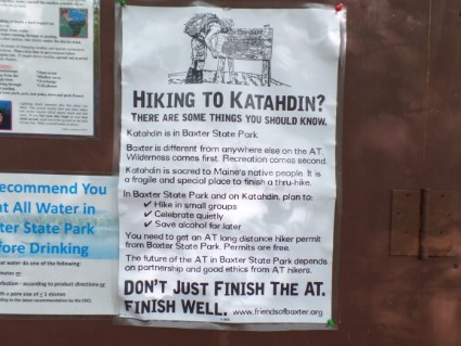
Baxter State Park is a very undeveloped and wild area and Maine wants to keep it that way. The park includes over 200,000 acres and is very rustic. There are no paved roads, no restrooms, no running water, no electricity, and food is not available anywhere in the park. They have a pamphlet that explains all of the rules and regulations. Here’s a big one that affected us: No vehicle over nine (9) feet high, seven (7) feet wide, or 22 feet long for a single vehicle or 44 feet long for combined units may enter the Park.
My truck is 8′ 3″ wide! Even if I were able to get a parking reservation (they only let so many vehicles in each day) I wouldn’t be able to drive to any trail-heads. Such a big disappointment. We even asked about renting a car but the closest car rental place was in Bangor, over 60 miles away. The lady behind the counter did point out a couple places outside the park where we could park the truck and hike into Baxter. But the best hikes were inside the park. Well, back to the trailer to plan out our next couple of days.
Friday 9/2/16 We decided to drive to Abol Bridge Campground and do some hiking on part of the Appalachian Trail. This campground is right outside the park and we could park the truck there. The Appalachian Trail runs near the campground and then into Baxter State Park. It’s a small campground for hikers and has a couple lean-tos and sites for tents. The only way to get there by vehicle is by driving about 6 miles on an old logging road. This road was terrible! It was like driving on a washboard. Most of it was dirt and gravel and I could only go about 10 mph without shaking the truck apart. That 6-mile section took us 35 minutes to travel.
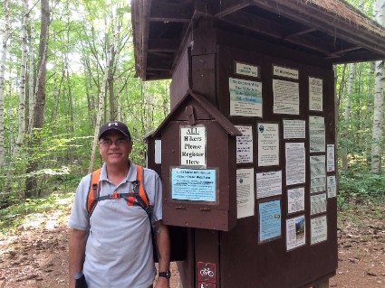
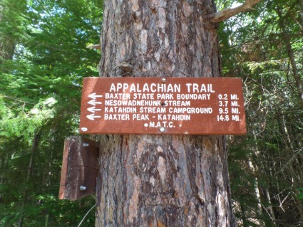
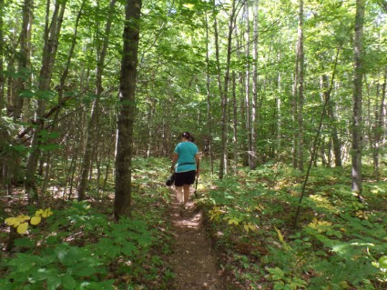
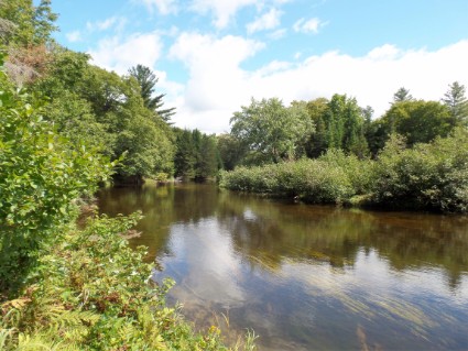
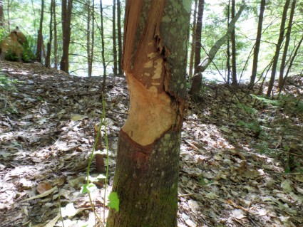
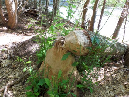
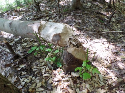
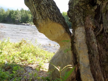
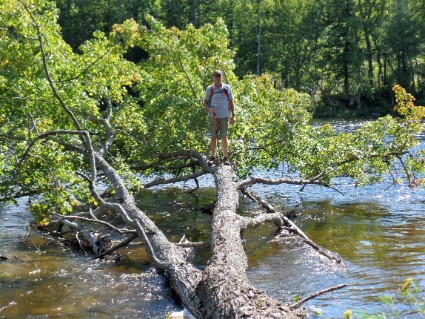
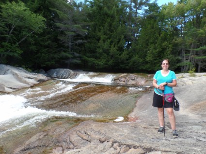
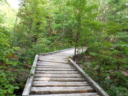
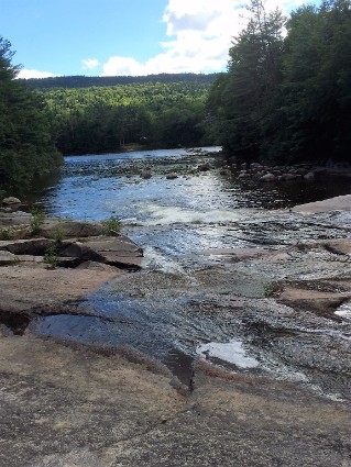
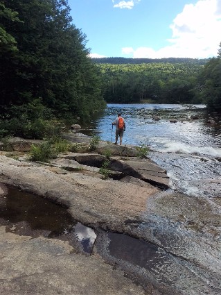
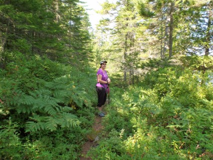
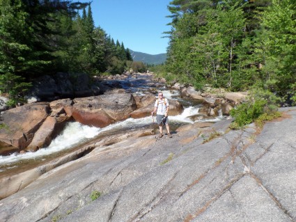
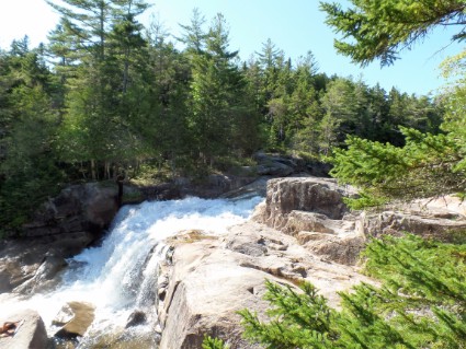
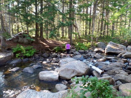
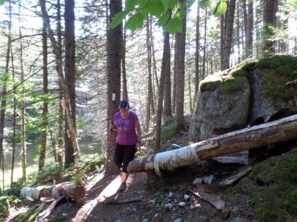
We started the hike right around noon. This part of the Appalachian Trail follows a river before it starts up to Mt. Katahdin so it was mostly level and easy going. The whole time we were on the trail we only saw 4 other hikers. We packed a lunch and sat on the edge of the river to eat and saw a couple of whitewater rafts go by. We hiked along that trail for a little over 5 miles and then turned around and went back the same way. Ended up hiking 11 miles. 28000 steps, 11.83 miles and 32 flights of steps according to Rose’s Fitbit. Below are pictures of some of the things we saw along the trail. Check out the trees that were chewed by beavers.
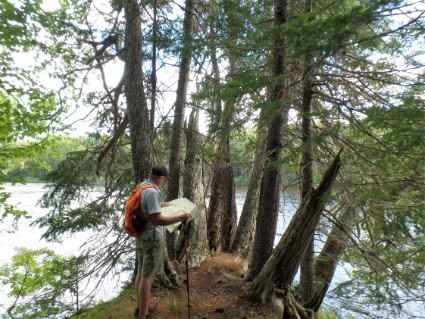
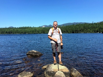
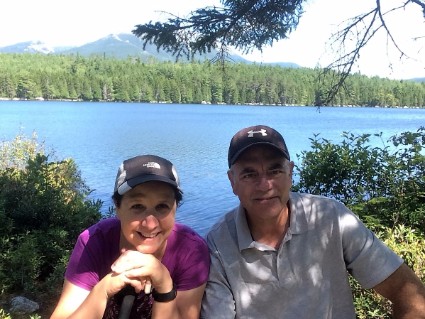
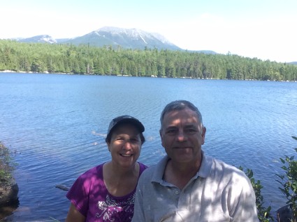
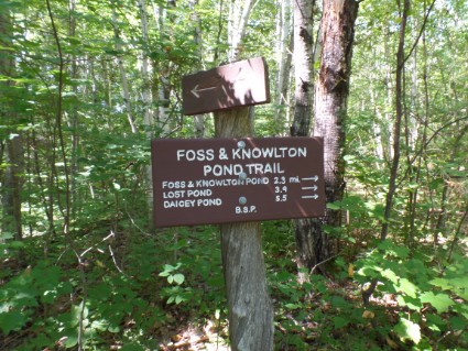
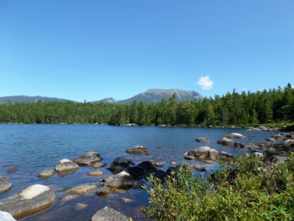
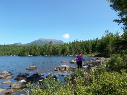
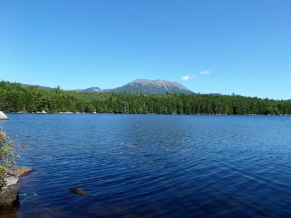
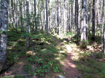
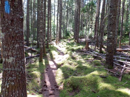
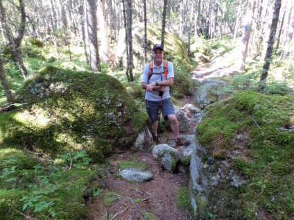
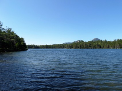
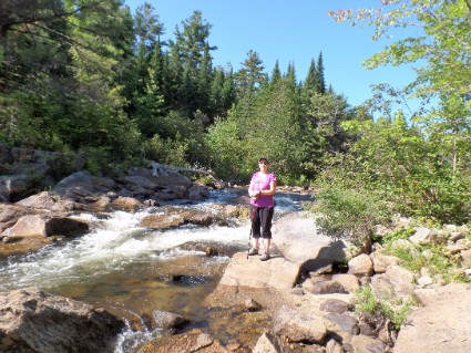
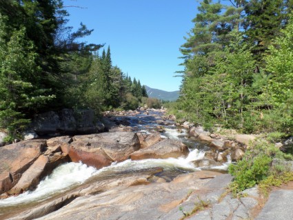
Saturday 9/3/16 Checking the map The Abol Bridge Campground is the only place close where we can park the truck. There were other trails that started there so we decided to go back again today. We started on a trail called The Foss & Knowlton Trail which from the map looked like a very scenic trail. About a half mile into the hike we had second thoughts. The trail started out as an ATV or jeep trail. It was a two-lane path with gravel and out in the open. There were a few times we thought about turning around and taking a different trail. But we kept on going hoping things would get better. After about 2 miles the trail narrowed to a single path in the woods. We hiked passed 3 beautiful lakes. One of them had a perfect view of Mt. Katahdin over the water. This is where we stopped for lunch. Like I said, this is a very wild and rustic area and the only way to get to these lakes is by hiking to them. So there are no boats or even people around anywhere. Very quiet and peaceful. The first 8 miles of our hike we only saw one other person and he was a photographer. This trail was amazing and we hiked in so many different settings. Narrow paths through waist-high ferns, river crossings, up and over granite boulders, through moss covered forests, past untouched lakes, along rivers full of boulders and past waterfalls. One of the nicest hikes we have ever been on. And we almost had the whole place to ourselves. We started the hike around 11:00 and took our time enjoying the scenery. The Foss and Knowlton Trail turned into The Lost Pond Trail which connected with the Appalachian Trail going the opposite direction we hiked yesterday. It was a big loop which would bring us back to where we parked. Once we got to the Appalachian Trail we realized we might be running out of daylight if we don’t move a little faster. So the last 7 miles we really pushed it. 5 of those miles we were on yesterday so there was nothing new to see. We got back to the truck at 6:15. A full 7 hours of hiking and Rose reached a new high on her Fitbit. 41,758 steps, 17.67 miles and 105 flights of steps! Whew, tomorrow we are just hanging around the campground!
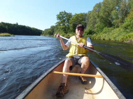
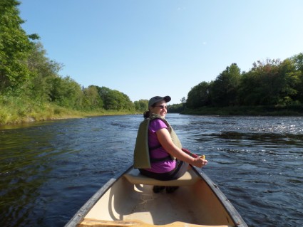
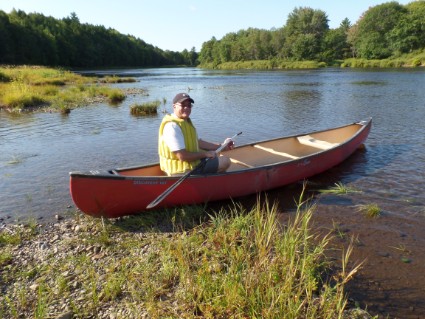
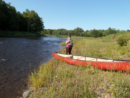
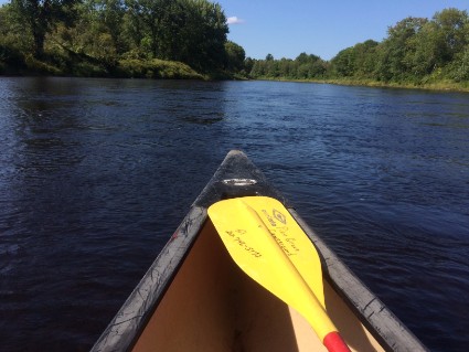
Sunday 9/4/16 After our hike yesterday we decided to take a day off and not go anywhere. We slept in a little, I had my usual Sunday breakfast (thanks, Rose!) and we just took it easy most of the day. After lunch, we did take advantage of the free canoes at the campground. The back of the campground borders the East Branch Penobscot River. The water seemed calm so we tried to paddle upstream and around a piece of land in the middle of the river. It wasn’t easy. The current was strong enough that we couldn’t make it on the right side. There was a point where we were paddling hard and not going anywhere. So we turned around and tried the left side. We made it a little further but could not get all the way around. We had to get out of the canoe and carry it part of the way. After that, it was easy paddling back to the campground. It’s a good thing we didn’t go the other way, we would have never been able to get back to the campground.
Monday 9/5/16 We picked up some literature the other day about a new section of land in this area that was just (13 days ago) designated as a National Monument. When I hear National Monument I think of seeing one small location with some type of marker explaining why it’s there. But this was not the case. This National Monument is actually 87,563 acres of mountains and wilderness. When we drove to the campgrounds the first day we noticed signs around town saying “NO to National Park” and “Yes to National Park” but didn’t know what was going on.
Roxanne Quimby, the founder of Burt’s Bees, began purchasing land near Baxter State Park in 2001 before formally announcing her plans in 2011 that the land would one day become part of a national park. However, following opposition by state and federal politicians to the creation of a national park, Quimby changed her focus to a national monument, which could be created with an executive order by the president under the Antiquities Act. On August 23, 2016, The Quimby Family Foundation donated the land (valued at $60 million) and $20 million to fund initial operations and a commitment of $20 million in future support to the United States federal government. On August 24, 2016, the eve of the National Park Service centennial, President Barack Obama proclaimed 87,563 acres of land and designated it as the Katahdin Woods and Waters National Monument.
The land is very underdeveloped but it didn’t have the rules and regulations that Baxter State Park has. Meaning I can drive the truck into this section. We decided to drive into the National Monument and see if we could find some trails to hike. Looking at a map there was a road into the area about 15 miles away from the campground. When we got to that road it was an old dirt and gravel logging road. On the map, we found that there was a place to get information on that road. This road was a single lane dirt road surrounded by trees. Something you would take a Jeep on. Our truck is made to haul a trailer, not go off-road. We drove 6 miles back into the Maine wilderness and finally found the place we were looking for. It wasn’t much. A couple of cabins in the woods and nobody around. No information, no trails, no people, nothing. We decided at that point that this place was just too wild for us. We didn’t want to drive these roads looking for trails that weren’t even marked. The area is so big we would probably get lost and nobody is around to find us. We turned around and headed back.
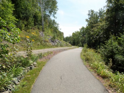
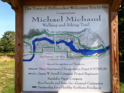
We went back to Millinocket and walked a short bike/hike trail they had in town. Then took the truck to a self-service car wash to wash off the dirt and dust from the last couple of days. Filled up with fuel and headed back to the trailer for the rest of the day.
Questions or comments? Contact us today.
