Slade, Kentucky
Natural Bridge State Park, Red River Gorge, Daniel Boone National Forest
8/10/17 to 8/14/17
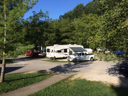
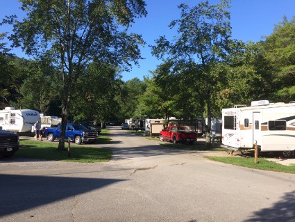
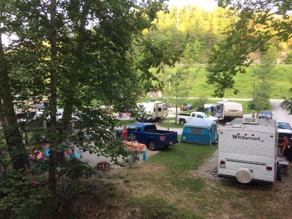
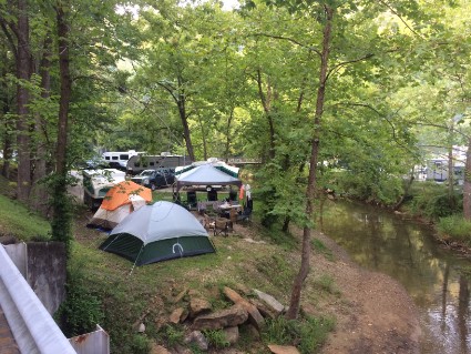
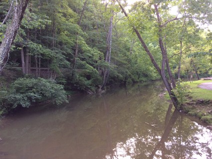
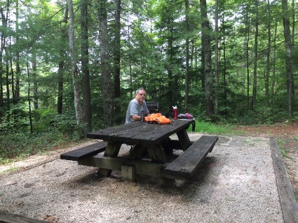
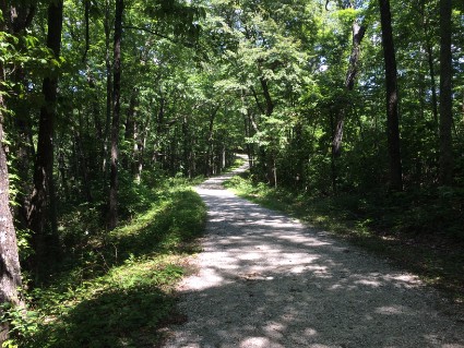
Thursday 8/10/17 The trip from Cave City, KY to Slade, KY was 182 miles. We are working our way home and trying to stay in as many state parks as we can. I chose this area because of the distance from Mammoth Cave and it looked like there was a lot to see here. I made reservations at the Middle Fork Campground which is part of The Natural Bridge State Park. It looked like a nice place but the site they gave us was right on the end of a loop and very close to the bathroom. A very busy spot because everybody was walking and driving right past us all weekend. The site was just long enough for our trailer so I had to park the truck on the grass in front of the trailer. We had our site for four nights. I guess this is a popular place because Friday night the people started rolling in. When we got up on Saturday every spot was taken. A mixture of all types of campers including tents. It was a pretty noisy place all weekend but most of them left on Sunday. The sites are very close together and we could hear our neighbors talking around the campfire every night until after midnight. They were actually chopping wood one morning at 6:00 AM. The good thing is that the campground is located in a very convenient area. We were within walking distance to the Natural Bridge trailhead and a short drive to The Red River Gorge and Daniel Boone National Forest. After we got the trailer set up we went for a short walk along the stream.
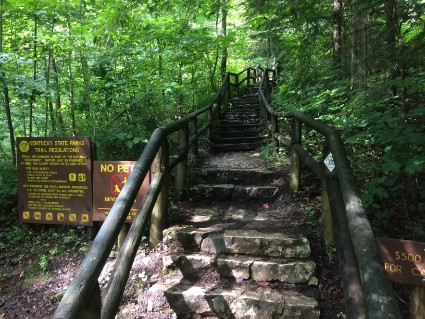
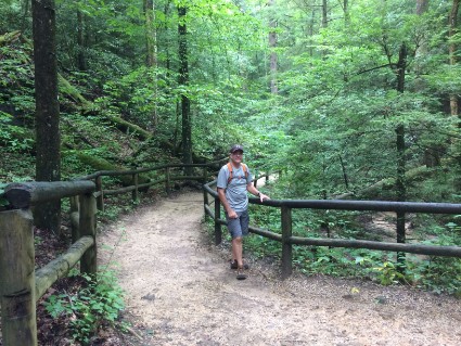
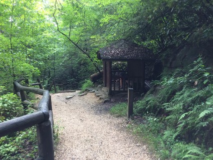
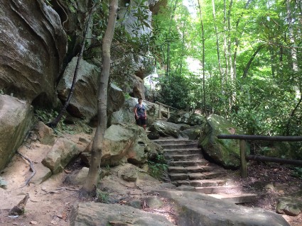
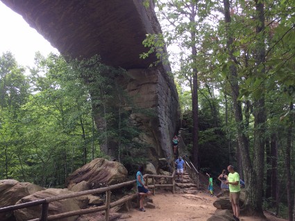
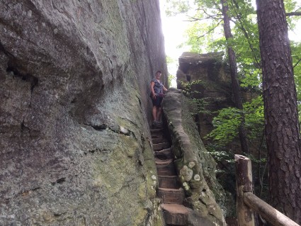
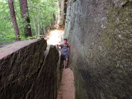
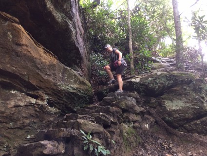
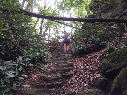
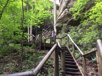
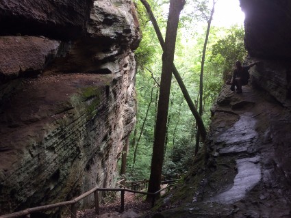
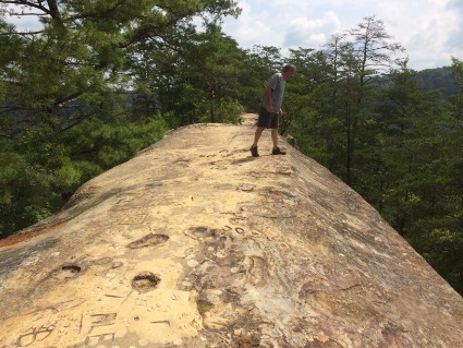
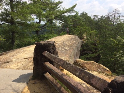
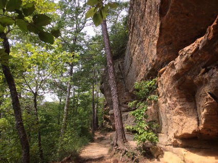
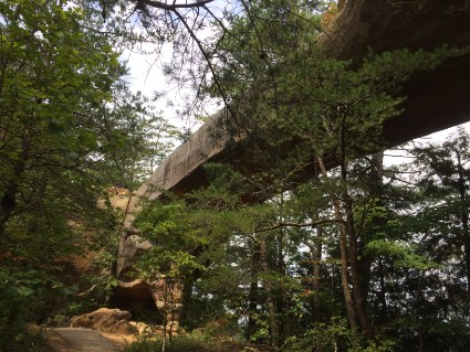
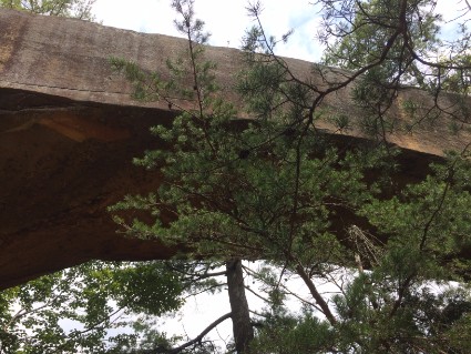
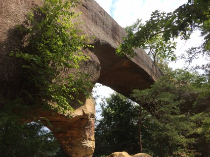
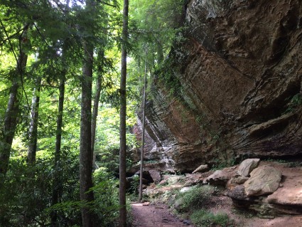
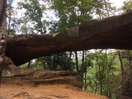
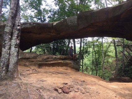
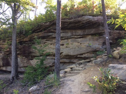
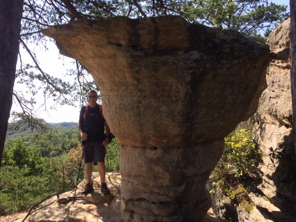
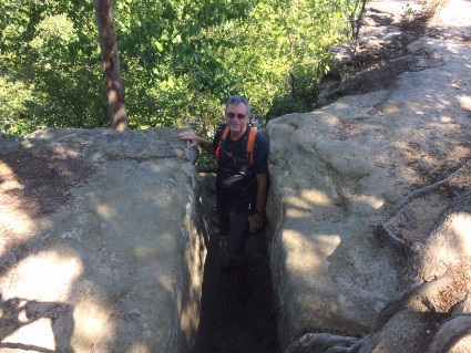
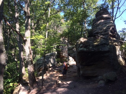
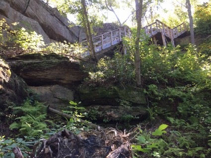
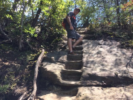
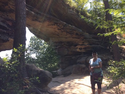
Friday 8/11/17 Since the Natural Bridge trail was so close we decided to hike it today. And since this is a popular weekend destination there should be fewer people on a Friday. The Natural Bridge is a sandstone arch that is 78 feet long, 65 feet high, 12 feet thick and 20 feet wide. The trail to the bridge was built in the 1890’s by the Lexington and Eastern Railroad. It gently climbs to the trailhead behind The Hemlock Lodge and then gets very steep. There are five shelters along the trail, three of which were built by the Civilian Conservation Corps (CCC) during the 1930’s. The trail climbs over 400-feet through a forest of hemlock, tulip trees, white pine, and thickets of rhododendron. It ends beneath the span of the Natural Bridge. Access to the top of the bridge is through a natural fracture on the other side of the arch. There is an elevation change of 420 feet. It was a very steep trail and we had to take a couple of breaks on the way up.
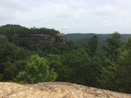
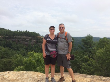
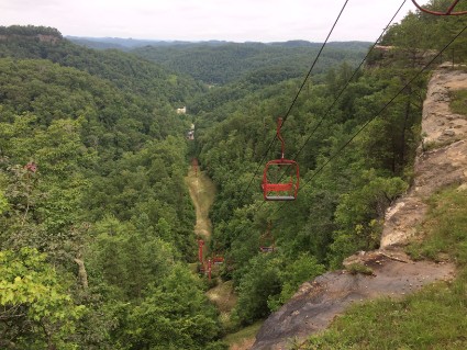
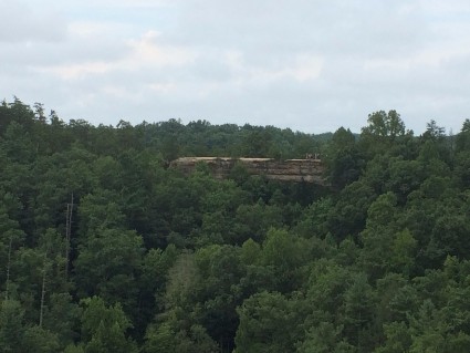
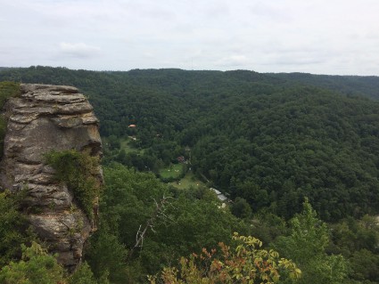
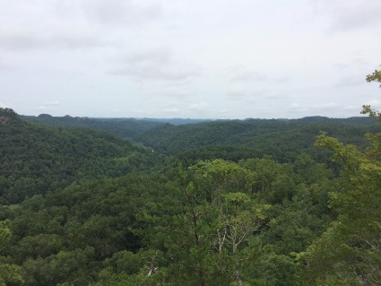
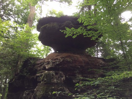
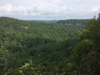
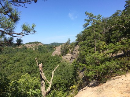
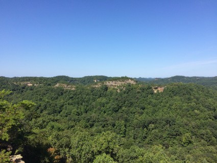
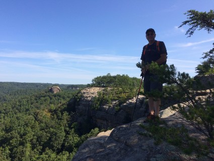
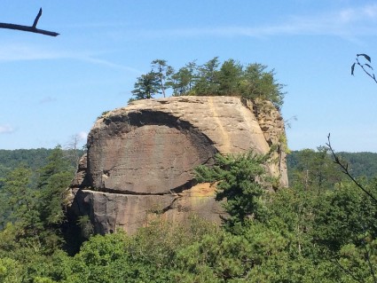
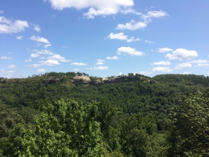
Once we got to the top of the Natural Bridge there are other connecting trails that run along the top of the ridge. One of them leads to the chairlift that you can ride up and down if you can't make the steep hike. As you continue along the ridge there are a couple of nice lookouts where you can see the Natural Bridge from a distance. There were some very nice views from this height. We then walked back to the bridge and took the Balancing Rock Trail down to where we started. The Balancing Rock trail was the most difficult trail up to the Natural Bridge. I'm glad we saved it for the way down. We walked a total of 5.7 strenuous miles that day.
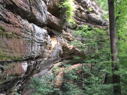
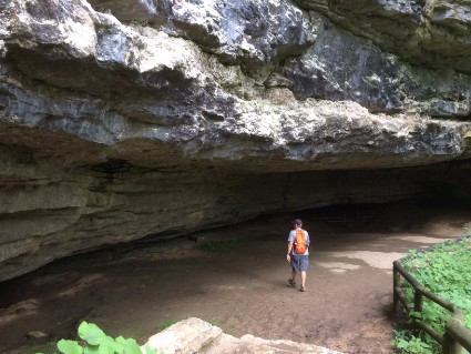
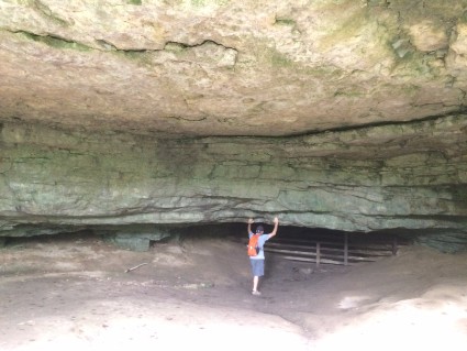
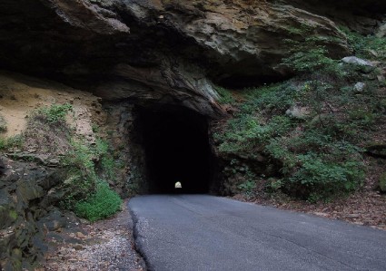
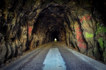
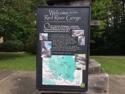
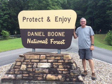
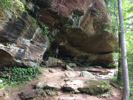
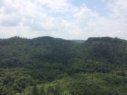
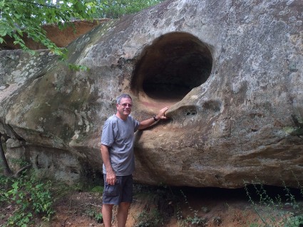
Saturday 8/12/17 Natural Bridge State Park is very close to Daniel Boone National Forest and The Red River Geological Area so today we wanted to drive around and check them out. Much of the Gorge is located inside the Daniel Boone National Forest and is an area of around 29,000 acres. This canyon system has a lot of high sandstone cliffs, rock shelters, waterfalls, and natural bridges. There are more than 100 natural sandstone arches in the Red River Gorge Area. The sandstone and cliff-lines have helped this area become one of the world's top rock climbing destinations. Looking on the map, there are a couple of roads that form a loop through the forest and pass by a few of the best things to see. One of the first things we got to see was the Nada Tunnel. This is an old railroad tunnel that was built in 1910 when logging was popular in the area. Solid limestone was blasted with dynamite and dug out with steam machinery and hand tools, with two teams working from each side of the ridge. Once the forests had been cleared, the timber companies pulled out of the area. The railroad tracks were removed and a dirt road was laid in the tunnel in order to accommodate horse and pedestrian traffic. It has since been paved to carry a single lane of road traffic. This tunnel is 900' long, 13' high and 12' wide with no lights! It was pretty tight driving the truck through.
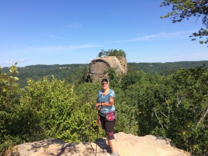
Once we got through the tunnel the road was pretty narrow all through the park. I think I was traveling about 20 mph and slowed down, even more, when a car would come from the other direction. I had to get as close as I could to the edge of the road so we could get by each other. This place is very popular for hikers and sightseers and since today was Saturday there was a lot of traffic. We stopped at The Gladie Visitor's Center and picked up a park and trail map and got a few suggestions from the rangers on what to see. There were a couple of places in the park where we could drive to, park the truck and walk a short distance to the formations. The first one we went to was called the Sky Bridge. This is another, but a smaller natural bridge which is about a mile hike from the parking lot. Glad we stopped to see this. It had lots of rocks to climb and great views. We found a picnic table near the bridge and had lunch.
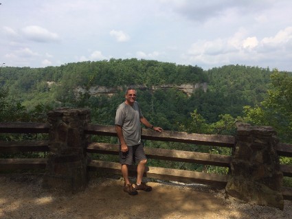
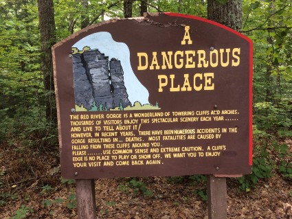
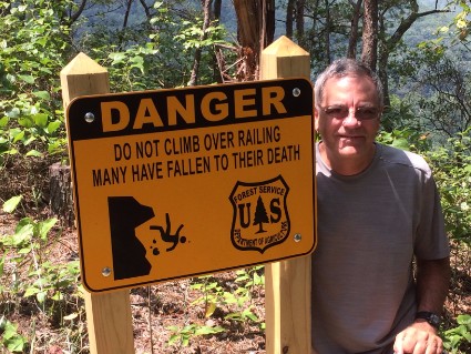
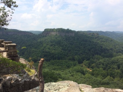
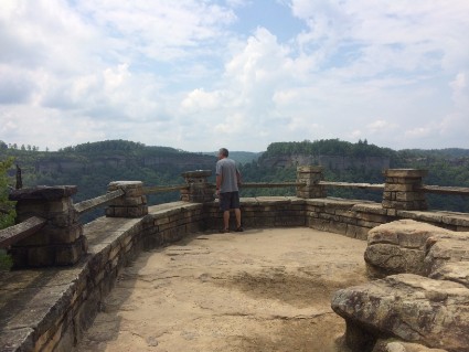
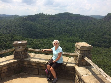
After lunch, we headed further on down the road and found an old log cabin. Then on to another formation. This one was named Chimney Top. After driving five miles on a gravel road we came to the parking lot. From there it was a short walk that led to an amazing view. There is a nice stone lookout point with a railing to prevent you from going any further. I guess the signs and railing are not enough because in the last couple of years several people have tried to get to the ledge just below the lookout and have fallen to their death. Chimney Top Rock is the deadliest spot in the gorge but also offers its most breathtaking views of the surrounding forest and rocky landmarks.
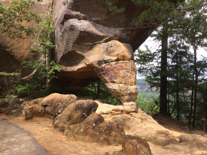
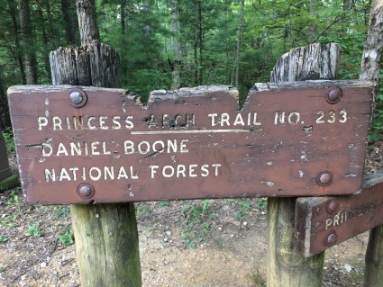
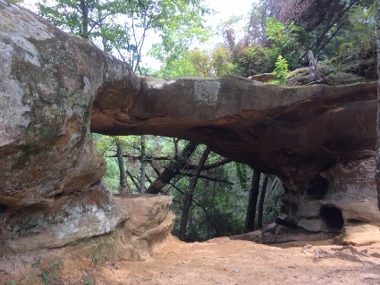
Once we got back to the parking lot there was another trail heading down the hill. We walked down about a half a mile and found The Princess Arch. Yet another small natural bridge.
Sunday 8/13/17 Yesterday when we were at the visitor's center we asked one of the rangers for hiking suggestions. We wanted something about five miles long with great scenery. He suggested a hike in the Red River Gorge called The Double Arch. Today we took that hike but it ended up being eight miles long.
We left the campground around 9:00 am to get an early start and beat the heat. It took us about a half an hour to get to the trailhead. It's a primitive area around here and once we got off the main highway we had to drive another five miles on a gravel road. We decided to do a couple of trails which linked together and would loop us back to the parking area.
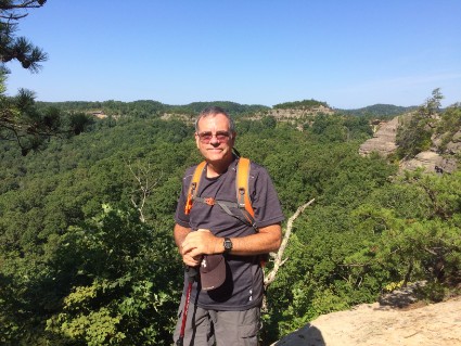
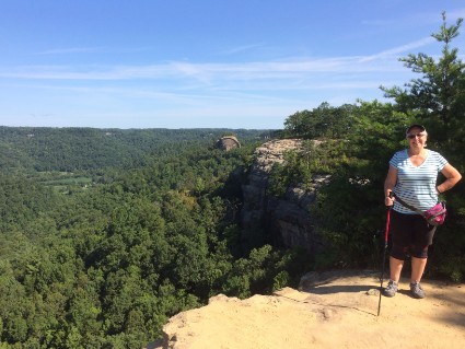
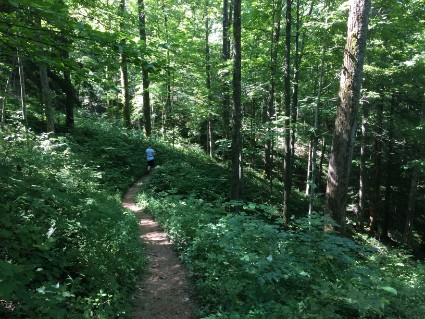
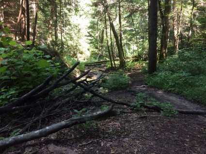
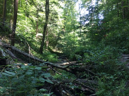
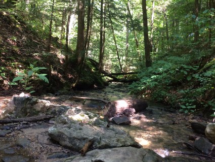
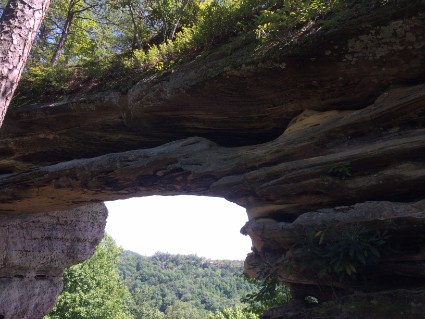
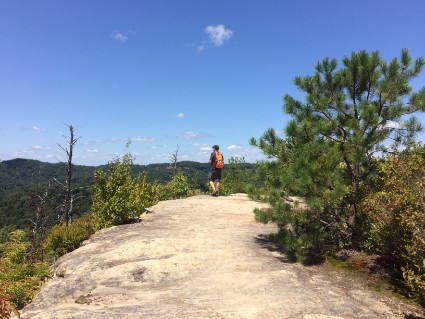
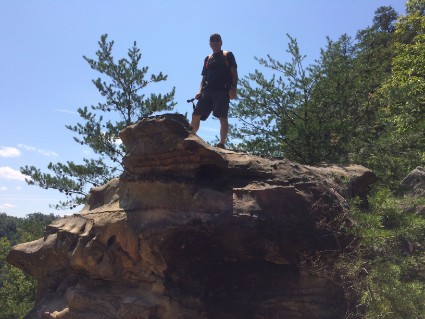
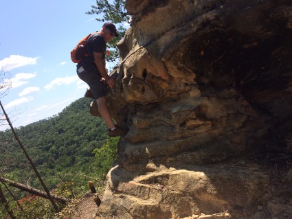
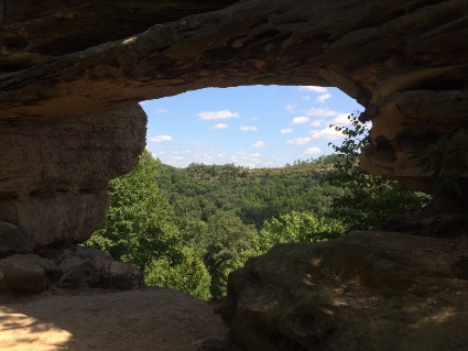
All in all, this was a great hike. We walked a total of eight miles and saw a variety of sites. We started off walking through the forest along a ridge. Once we got to the edge of the ridge we walked down into a heavily wooded valley along a beautiful stream. Then up to another ridge to the double arch. After playing around on the rocks at the double arch we went back down into the forest and then up through some rocks to a gravel road. Another mile or so on the gravel road and then to the parking area. Eight miles are more than we usually hike but it wasn't too bad because of everything we got to see. The two 360° videos below were taken from the top of the two different ridges we climbed.
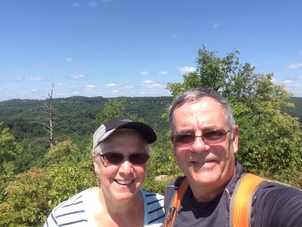
Monday 8/14/17 This part of Kentucky is amazing. The Natural Bridge State Park, The Red River Gorge and the Daniel Boone National Forest offer endless opportunities to explore nature. We had a great time and walked more than we have in a long time. I'm sure we'll be back someday. Today we packed up and headed to Hocking Hills State Park near Logan, Ohio.
Questions or comments? Contact us today.
