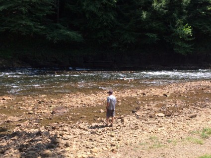
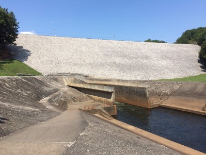
Our next big plans were at Mammoth Cave in Cave City, Kentucky but since we don't like to travel more than 200 miles a day we made a couple stops between Ozark, Arkansas and the cave.
Paragould, Arkansas
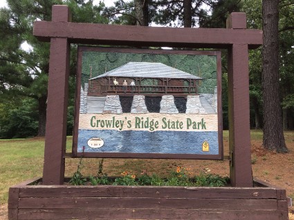
Crowley's Ridge State Park
7/31/17 to 8/2/17
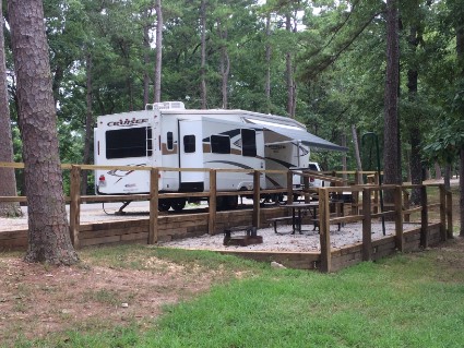
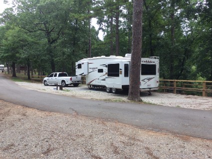
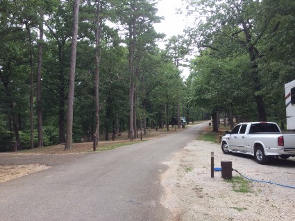
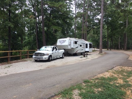
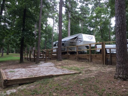
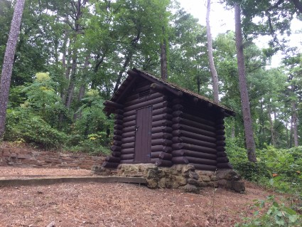
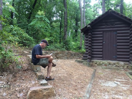
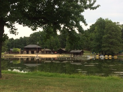
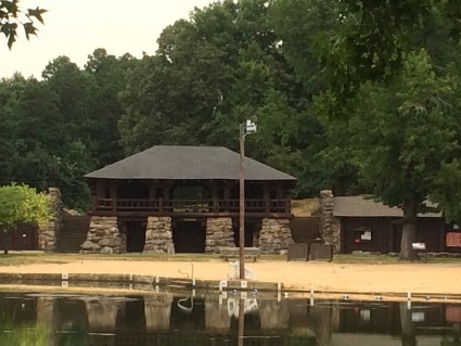
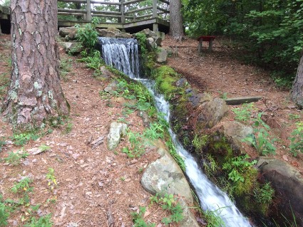
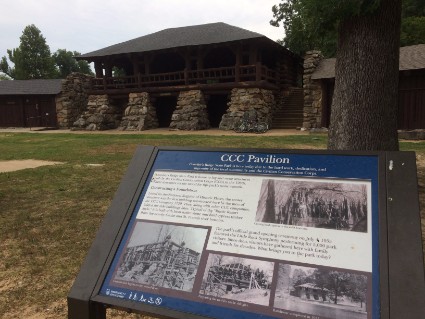
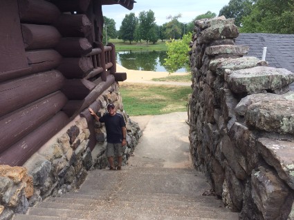
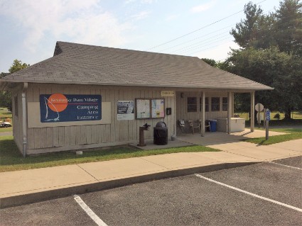
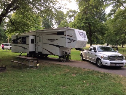
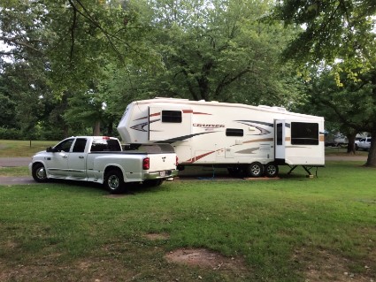
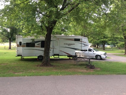
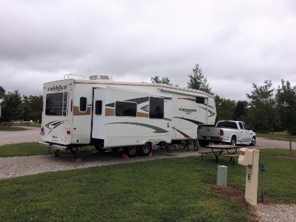
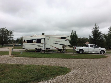
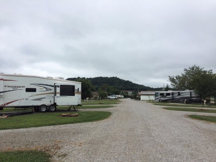
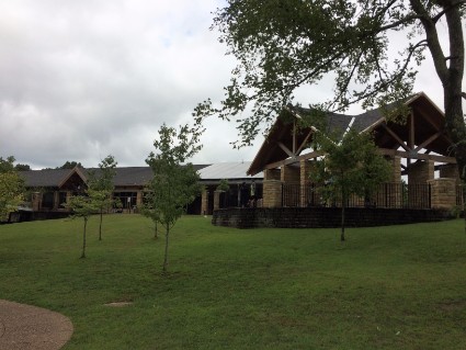
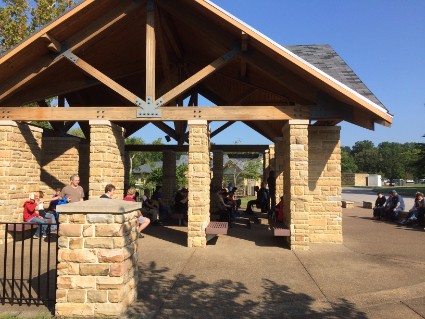
Monday 7/31/17 Our first stop was in Crowley's Ridge State Park near Paragould, Arkansas. We've had pretty good luck with most of the state parks we stay at so whenever I do our trip planning I try to find one on the route. I do all my research online so we really never know what it's going to be like until we get there. Well, we hit the jackpot with this place. Once we headed northeast and left The Ozarks the scenery changed from green mountains to flat farmland. Miles and miles of flat farmland. As we got closer to our destination I kept thinking we were going to be camping in a field somewhere. But about ten miles before the campground we started to see more and more trees and everything changed for the better. Crowley's Ridge is a unique geological feature that rises two hundred feet above the delta region of northeastern Arkansas. It's a narrow strip of gently rolling hills. The park is on this strip in the middle of tall pine and hardwood trees. The campground has only 18 sites and our site was the best one. It was a pull through on the side of a hill. They landscaped it to be three different layers. One layer where the trailer sat, another layer that had a picnic table and grill and another had an area for a tent. We planned on staying here two nights. The first night about six other sites were being used, including a noisy family in tents. But most of them left on Tuesday morning and we had the place to ourselves. The CCC built this park back in the 1930s and a massive log and stone pavilion overlooking a swimming lake is still in use today. This was used as a picnic area and dance hall in its early years.
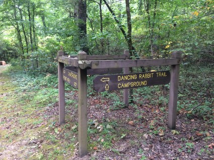
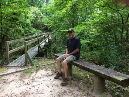
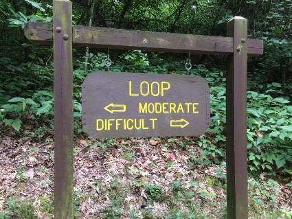
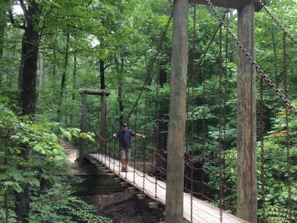
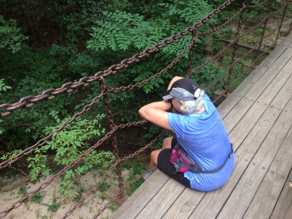
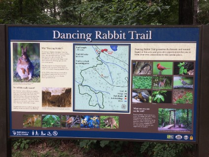
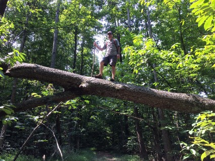
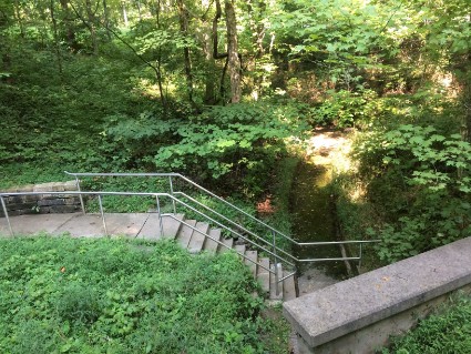
Tuesday 8/1/17 It had cooled down quite a bit the last couple of days so we decided to do some hiking today. According to the park pamphlet that we picked up at the visitors center the park has four and a half miles of trails. But because we didn't have a detailed map we walked over six miles. Since the park isn't very big we just picked a trail and started walking. That led to another trail that looped back somewhere else so we ended up walking the same trails over again until we found our way back. Originally we thought we were going to walk a short trail so we didn't bring any water. Luckily during the time we were lost we walked past the visitors center and were able to get a drink. The trails we walked were called the Dancing Rabbit Trail, The Spider Creek Trail, and the Lake Ponder Trail. Once back at the trailer we just enjoyed the peace and quiet of the park for the rest of the day.
Wednesday 8/2/17 We really enjoyed the stay at this beautiful campground and should have stayed at least one more day but we already made reservations somewhere else. We took one more short hike before we packed up and then headed to Kentucky Dam State Park.
Gilbertsville, KY
Kentucky Dam State Park
8/2/17 to 8/5/17
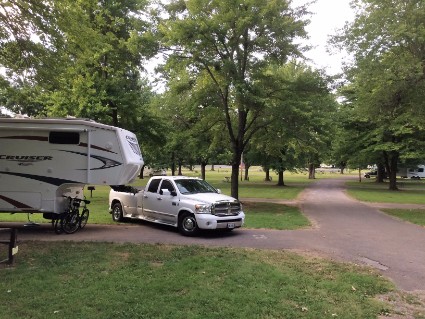
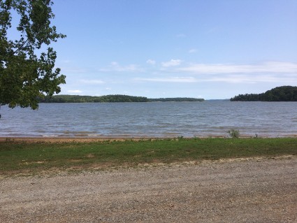
Wednesday 8/2/17 Our next campground was only 185 miles away but as it worked out we drove in 4 states to get there. If you look at a United States map, Paragould, AR is in the north/east corner of Arkansas. As we traveled north/east to Kentucky Lake the road took us into the bottom right tab of Missouri, through an upper left corner of Tennessee and then into Kentucky. Four states in one day! I didn't know anything about Kentucky Dam State Park but I was looking for a place to stay on our way to Mammoth Cave within our 200 mile a day range. When I looked at a map I saw a huge area of green that is called The Land Between The Lakes. It's a National Recreation Area and I was sure we could find something to do there so I made reservations for three nights. We stayed at The Kentucky Dam Campground. I'm pretty sure they built this campground around the same time they built the dam. It's a fairly large state-owned campground with 219 sites but only a few were being used. Not the best we've stayed in but it was fine. Once we got the trailer set up we drove around to check out the area. After we got gas and something to eat we went shopping for one item. An AC to DC converter.
As I wrote about before we were having trouble with our air conditioner and I thought I had solved the problem when I removed the burnt 90° extension cord. Well, that was only part of the problem. I discovered another problem with our cell booster. Sometimes we use a cell phone booster to help with weak cell phone signals. If we camp out in the middle of nowhere cell service is very weak. This booster picks up the signal and amplifies it which helps us when using our cell phones and computer. The booster plugs into a 12-volt cigarette lighter type outlet. We have one of these outlets in the bedroom and one near the rear of the trailer. For some reason whenever I would plug the booster into one of these outlets, the air conditioner would stop working. I researched this on the RV forums and discovered that our thermostat runs off of the 12-volt system in the trailer. The 12-volt booster somehow affects the signal from the thermostat to the air conditioner. So if I could get an AC to DC converter I could plug the booster into a regular wall outlet. We spent most of the afternoon driving around looking for one. The nearest big town was 30 miles away. We checked Walmart, Best Buy, and O'Reilly's Auto Parts. No luck. I ended up buying one from eBay but won't be able to use it until I get home. I guess we'll have to decide which is more important, the air conditioner or the internet. We can't have them both at the same time.
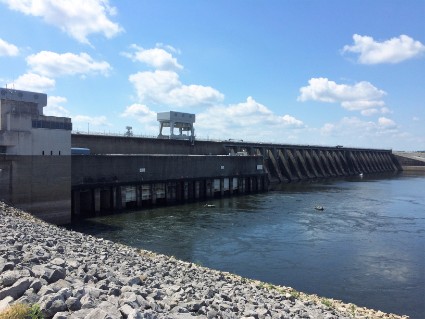
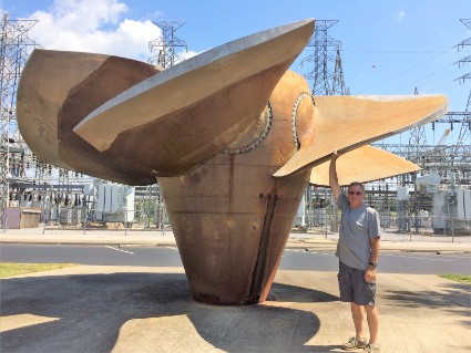
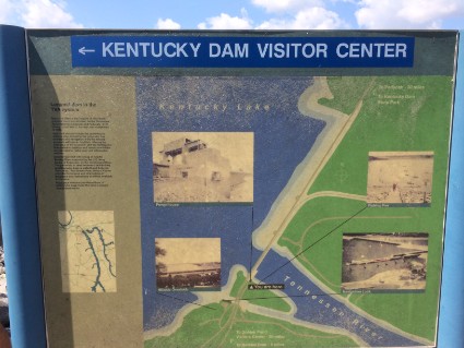
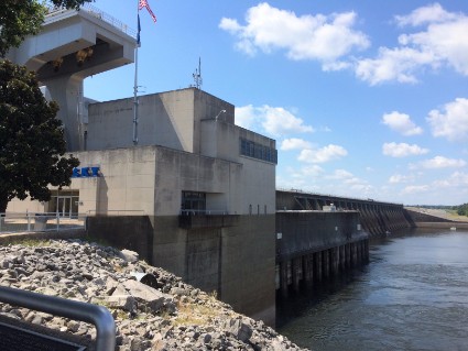
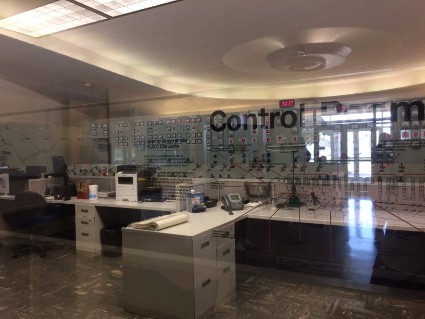
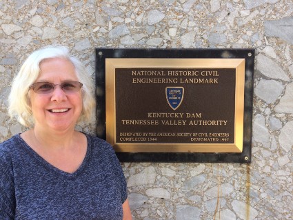
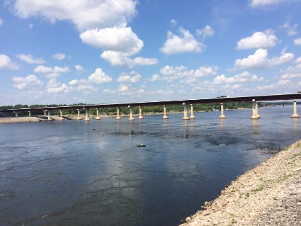
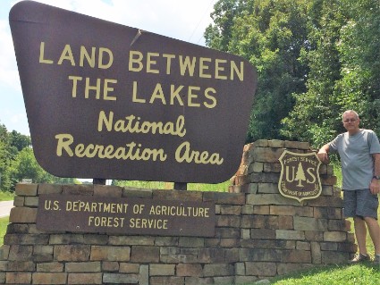
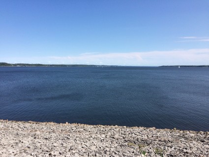
Thursday 8/3/17 The Land Between The Lakes (LBL) is a large (170,000 acres) United States National Recreation Area located between Lake Kentucky and Lake Barkley. The area was designated a national recreation area by John F. Kennedy in 1963. Today we planned on driving through the area looking at what it has to offer. The first place we stopped was at the Kentucky Dam. They had a nice visitors center that explained how and why the dam was built. The dam also generates electricity and they had a huge propeller from one of the turbines on display outside.
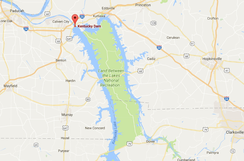
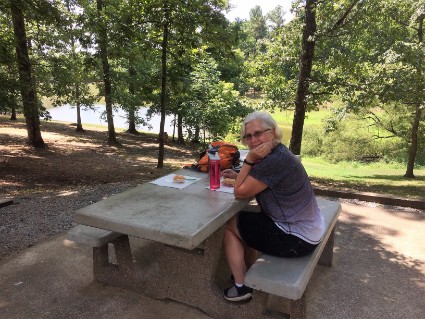
After checking out the dam we drove into the park area. There's one main road that runs through the center with secondary roads that run the opposite direction that take you to boat ramps, picnic areas, nature centers, swimming areas, campgrounds, lakes, and rivers. We stopped at the welcome center and picked up some information. We also stopped at a section called Golden Pond where we ate lunch at the picnic area. The whole area is bigger than I thought but there's not much to see from the main road. We only drove through half of the park before returning to the campground.
The Land Between The Lakes has a history that I found very interesting. Before the government built two dams in the late 1930s, this area was known as The Land Between The Rivers. Thousands of people that lived along the rivers had to be relocated because of the lakes that would be formed once the dams were completed. Then in the 1960s, the government forced out anyone who was living in the land between the lakes to make it the current recreational area. They actually took the land by eminent domain and either moved or razed many homes and business. All they left in place were the cemeteries which are scattered through the area. If you're interested in reading more about the history click here.
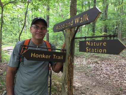
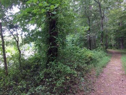
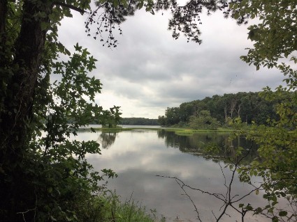
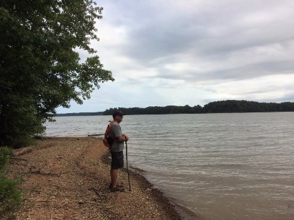
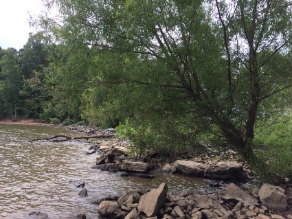
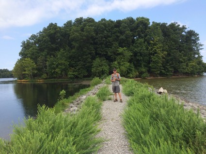
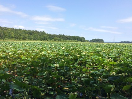
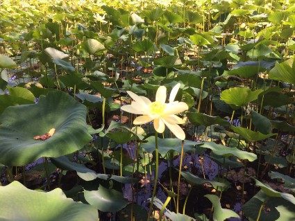
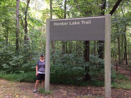
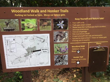
Friday 8/4/17 Yesterday when we were at the visitors center we picked up a pamphlet about hikes in the LBL. Today we chose to walk the Honker Lake Trail. Honker Lake is named for its large population of Giant Canada Geese that make it their home. The trail was 4 ½ miles long plus another ½ mile to the beginning of it. It was a nice easy, mostly level trail through a variety of habitats: dense forest, meadows, and along the lakeshore.
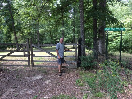
After the hike as we were driving back, we went looking for one of the old cemeteries. There was a sign near the main road. When we made the turn it was a narrow dirt and gravel road. We followed this road for three miles before we came to the cemetery. I guess the government maintains these grave sites because the grass had been cut. We walked around for a while reading the headstones. Most of them were from the late 1800s and early 1900s.
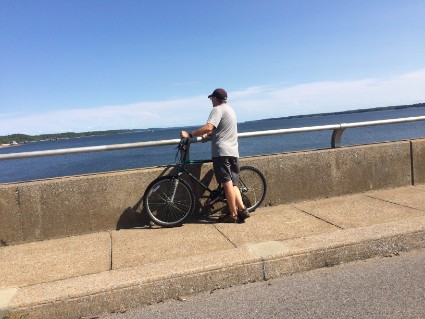
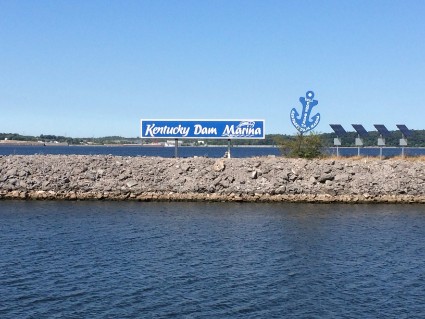
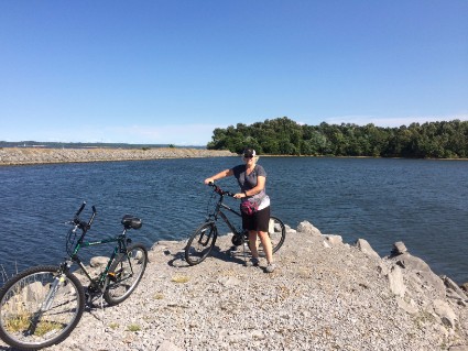
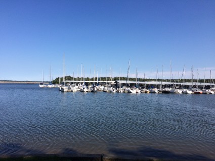
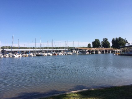
Once we got back to the trailer we loaded up the bikes and drove to the beach area near the dam. From here we could ride our bikes over the dam and around the marina. Further on up the road from the campground the park system also runs a resort with an inn, marina, and fine dining.
Saturday 8/5/17 The Land Between The Lakes is a huge recreational area that offers the area residents so much to do and explore. I now understand why the government decided to designate it as a national recreation area in 1963. It's nice to know someone is preserving places like this for future generations.
Today we are packing up and heading to Cave City, Kentucky to visit Mammoth Cave. Once we left Kentucky Dam it was a nice easy drive to Cave City. Mostly freeway type driving for 167 miles.
Cave City, Kentucky
Mammoth Cave
8/5/17 to 8/10/17
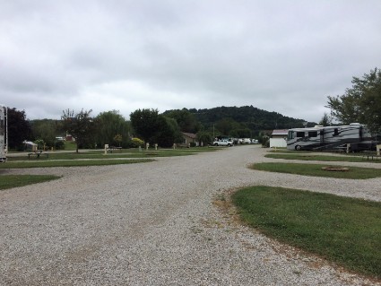
We stayed at a campground called Cave Country RV Campground. It's right off the route 65 freeway and very close to Mammoth Cave National Park. It's a commercial RV park with 51 sites and no shade. A pretty nice place. All the sites are pull through and it's usually quiet here. The only complaint I have is that this campground is right next to a railroad track. It's a very long train and it goes by a couple of times a day. One of those times is around 1 AM. Not only does the ground shake but the engineer also lays on the horn. There's no way to sleep through the night. Mammoth Cave National Park does have an older camping area in the woods but it's not set up to accept larger RVs.
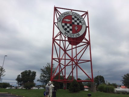
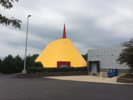
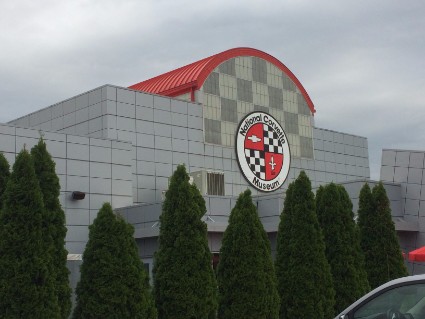
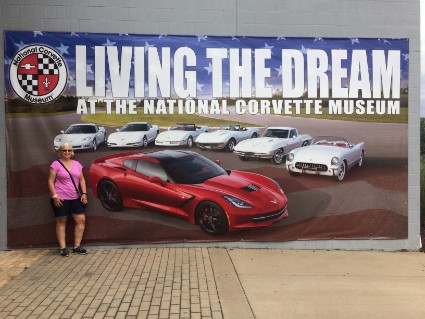
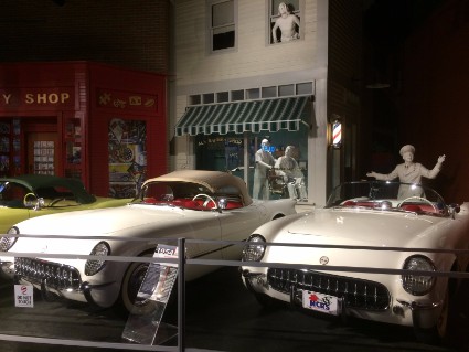
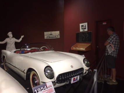
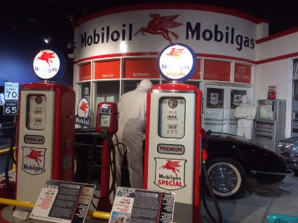
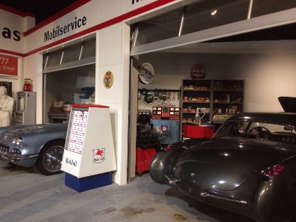
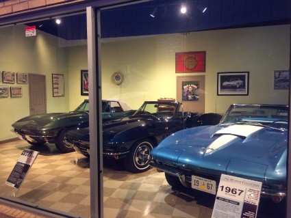
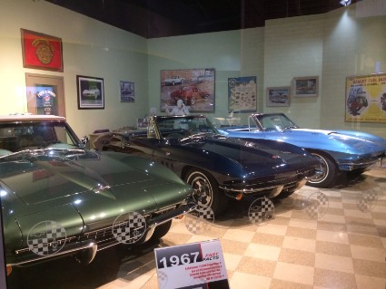
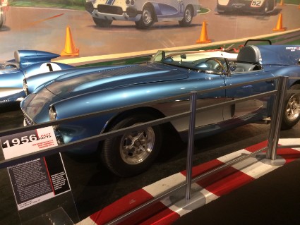
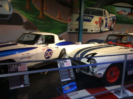
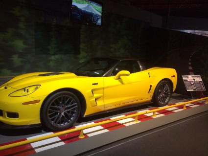
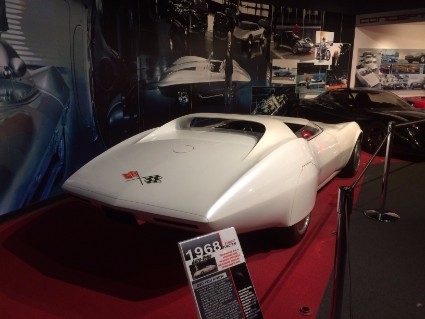
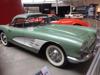
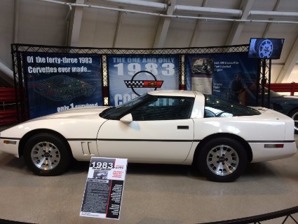
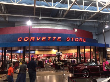
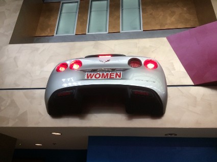
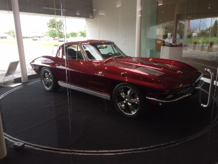
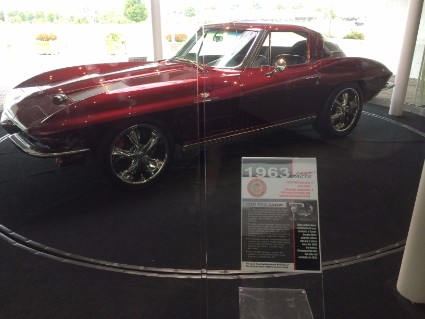
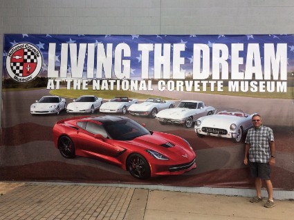
Sunday 8/6/17 We took a short drive to Bowling Green, KY to visit the National Corvette Museum. I've been wanting to stop here for years. The museum has a large yellow and red spire that can be seen from route 65. We've traveled route 65 a few times on our way to and from Nashville, TN, and Huntsville, AL. Every time I saw that spire I would mention that we should stop and visit but no one else in the car was interested. Rose still wasn't interested but she came along anyway this time. Admission was only $10.00 and well worth the price. We spent 2 ½ hours walking around the museum. They have a lot to see and read. The first Corvette came out in 1953 and they have at least one of every year on display. Plus lots of concept Vettes, modified Vettes, and special editions.
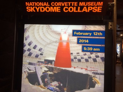
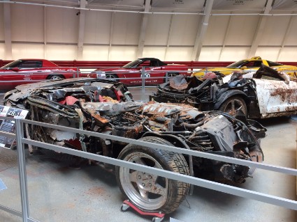
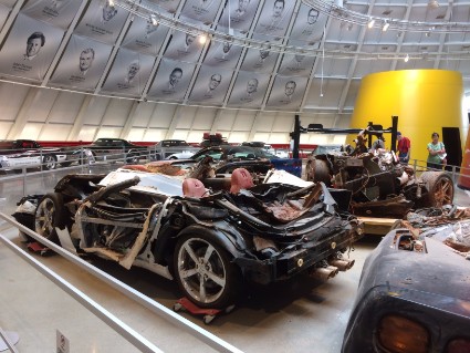
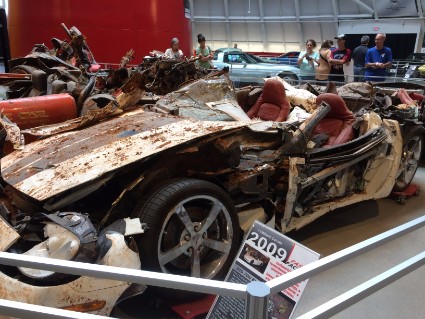
One interesting part of the museum was the sinkhole section. On February 12, 2014, a sinkhole opened under the floor of the Skydome area of the museum, causing a portion of the floor to collapse. Eight rare and one-of-a-kind Corvettes, portions of the display stands and rails, large concrete floor slabs and dirt fell into the sinkhole, causing serious damage to some of the Corvettes. The Corvettes involved had an estimated value of a million dollars. Once the Corvettes were pulled out and the floor was repaired the museum put most of these cars back on display. Check out the pictures below.
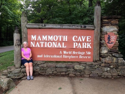
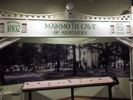
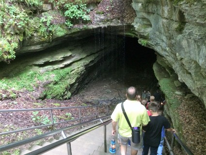
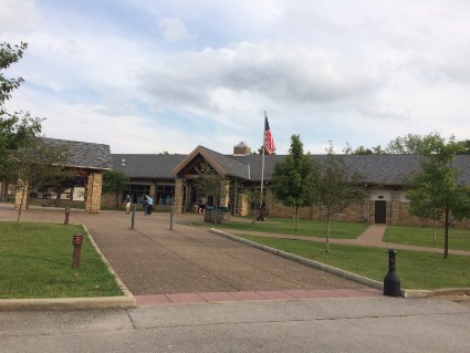
Monday 8/7/17 Today we drove into Mammoth Cave National Park and toured the cave. Mammoth Cave has 13 different cave tours and if you just show up expecting to take one you'll probably be disappointed. I made our tour reservations online weeks ago the same time I made the campsite reservations. Mammoth Cave is a very popular destination and the tours fill up fast. Since we have already been to Mammoth Cave a couple of times we were looking to do something different this time. So I chose The Violet City Lantern Tour.
Here's a description of the tour: Travel exclusively by lantern light as guides recreate a nostalgic experience of days gone by. The flickering flame and rugged trails make it seem as if time stands still in the cave. Experience the cave the way early visitors did as you navigate steep hills and uneven terrain through some of the largest and oldest toured passageways. Relive the stories, behold the illusions and experience the cave's primitive nature that only this rustic walking tour can afford! Duration, 3 hours. Distance, 3 miles.
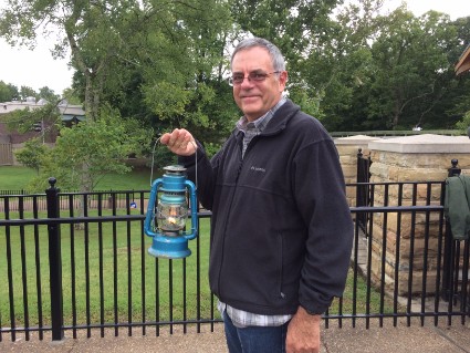
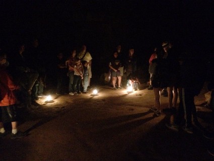
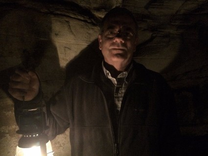
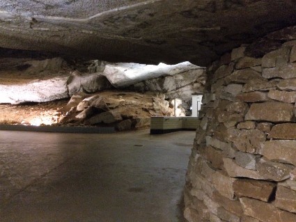
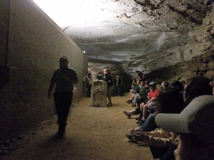
Well, I've got to say that we were very disappointed with this tour. Walking around in the cave with a lantern like they did before electricity sounds cool but you really can't see anything. There were about 35 people on the tour and we had only ten lanterns. The guide was interesting enough explaining the history of the cave, it's past owners and how they would give tours. But it seemed like we would walk a half mile, stop and listen to a story, walk another half mile, stop listen to another story and do this over and over until the end of the tour. The lanterns gave just enough light to see where we were walking. They weren't bright enough to see anything else. It was basically a three-mile hike in the dark. And because of that, there's just a couple of pictures below from inside the cave. We could have heard all the same stories if we sat in an auditorium in the visitors center. Oh well, live and learn.
Tuesday 8/8/17 Today we went back to Mammoth Cave for another tour which I reserved weeks ago. This time we took the Grand Avenue Tour.
Here's a description: This physically demanding trip will give you an excellent idea of the size and complexity of the Mammoth Cave System. Learn about the cultural and natural history of the cave and how they are interwoven as your journey takes you through some of the most dramatic passages in this "mammoth" cave. Walk through a variety of caves as you encounter gypsum lined passages, narrow canyons, steep underground hills, large rooms and areas with dripstone formations. This tour includes the entire Frozen Niagara Tour route and all of the Domes and Dripstones Tour. Duration, 4 hours. Distance, 4 miles. Difficulty, Very Strenuous. Tour Capacity, 78.
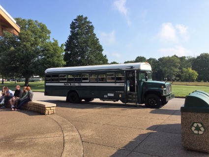
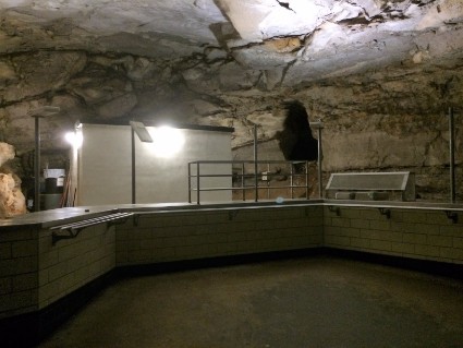
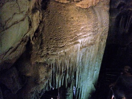
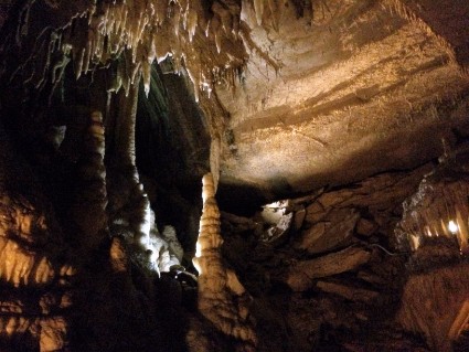
This tour was better than yesterdays. You take a bus to a different entrance and a bus also picks you up at the end. We got to see a lot of different areas of the cave and they were lighted. We even went to the cafeteria in the cave that they don't use anymore. (We took a tour about 20 years ago with the kids where they fed you lunch in the cave at this cafeteria) This tour was very strenuous and we did have someone quit near the cafeteria area. The guide kept warning everyone that it got harder as we got further into the tour. He was right. Near the end, there were lots of steps and switchbacks and although the cave was cool we had to remove our jackets because we were getting overheated. I do have a couple of complaints. I felt that a group of 78 people is too large. If you didn't stay close to the guide you missed about half of what he was saying. Also, the guide seemed to walk very fast and this would cause the group to get separated. When he would stop to talk about something we would have to wait five or ten minutes for everyone to catch up.
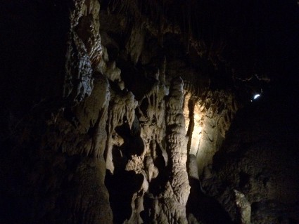
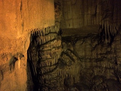
One thing about Mammoth Cave that a lot of people don't realize is that it's a dry cave. Meaning that there's not a lot of stalactites, stalagmites or flowstones. It is the longest cave system in the world but is mostly large caverns and sinkholes in dry limestone and sandstone. It is unique in that you can walk underground for miles and miles but there are very few formations. It's a great place to visit but if you want to be amazed by cave formations I would suggest seeing Blanchard Springs in Arkansas which we visited on July 25th.
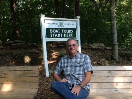
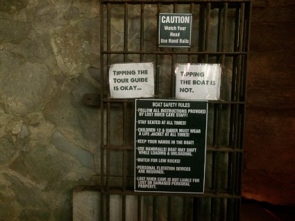
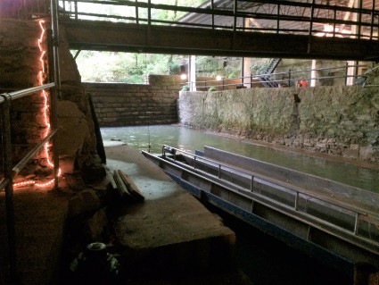
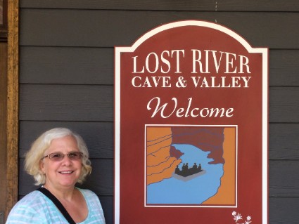
Our Mammoth Cave tour started at 9:00 in the morning so we were done around 1:00. Since we are in cave country we decided to see another cave. This one is right in Bowling Green and is called The Lost River Cave. Reading the reviews on this place we knew it wasn't going to be anything like Mammoth Cave but they had something different. A river flows through the cave and you see it from a boat. The cave and surrounding area are now owned by The Western Kentucky University and most of the employees are students from the school. The tour in the cave is very short. You board a flat bottom boat that holds around a dozen people. The boat is powered by a small electric motor. As you start the tour you have to duck your head because the ceiling is very low. Then it opens up to a large cavern. The guide talks about the history of the river and the cave until you come to a small dam inside the cave. Once there they turn around the boat and return you to the beginning. It's unique but not too exciting and you only spend about 20 minutes in the cave.
Here are a couple of interesting facts. During the Civil War, nearly 40,000 soldiers camped in the vicinity of the cave.
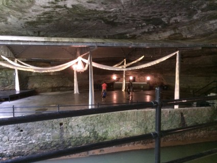
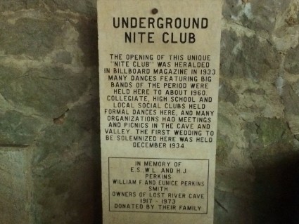
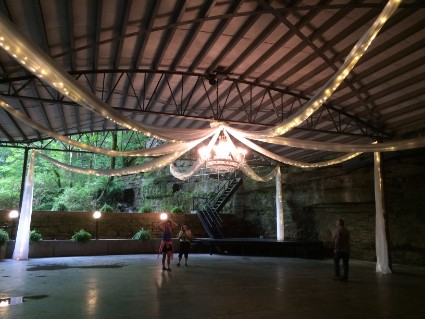
Like many caves, Lost River was rumored to have been used for manufacturing alcohol during Prohibition. With the repeal of Prohibition, however, the cave obtained a new use. In 1934, a local businessman opened a nightclub in the mouth of the cave, complete with stage, bar and dance floor. Known as the "Cavern Nite Club," the venue was popular because of its cool temperatures during a time when air conditioning was rare. In 1939, Billboard Magazine named the Cavern Nite Club as the only air-conditioned nightclub in the U.S. The nightclub and cave tours were enhanced by a local legend that the famous outlaw Jesse James hid out in the cave to escape the law after robbing the Southern Deposit Bank in Russellville, Kentucky.
After the cave tour, we took a leisurely walk on some of the trails on the property.
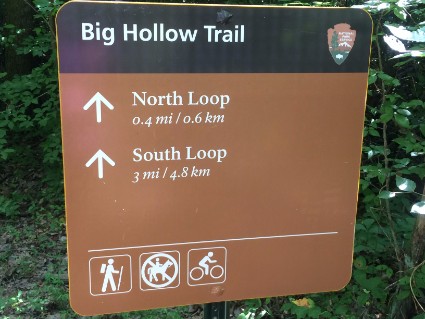
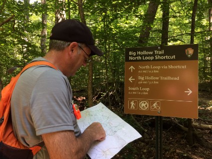
Wednesday 8/9/17 We've seen all we wanted to see inside Mammoth Cave so today we decided to check out more of the park. We wanted to enjoy the Kentucky wilderness by car and by hiking. Mammoth Cave National Park has a lot of multiple-use trails. That means you can use them for horseback riding, mountain biking or hiking. We found one on the map called The Big Hollow Trail North Loop that was five miles long. Looking at the map it looked like a nice 40-minute drive from the campground to the beginning of the trail. But it took us close to an hour and a half.
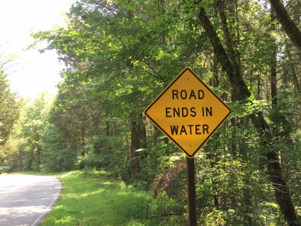
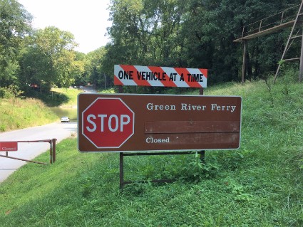
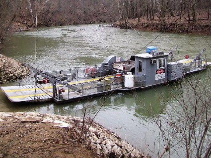
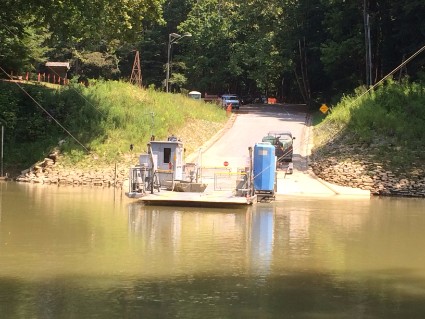
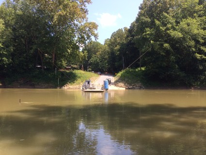
The Green River flows through the park and there are two places where the river and a road intersect. For some reason the National Park Service decided that there will be no bridges inside the National Park, they use ferries. Two tiny ferries, pulled by cables that haul two cars at a time across the Green River, which is only about 50 feet wide. I read about these ferries when I was researching the park and knew they had restrictions. So I called the ferry hotline to ask if my truck would fit. I got a recording that said the ferries were closed due to the low water level in the Green River.
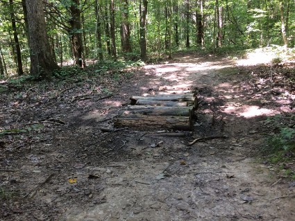
This meant that we had to drive around the park and enter from the other side to get to the trailhead. Instead of 14 miles, we had to drive 54. It was a nice drive through some small Kentucky towns which we enjoy anyway. Once we got to the parking lot we had to walk another mile to the trailhead. The trail was along a ridge and mostly level but there wasn't much to see. It was through deep woods with no overlooks or streams and it all looked the same from start to finish. One good thing is that during the three hours we only saw 3 other people on the trail. We walked a total of 6.9 miles that day. Once we were done with the trail we drove to the Green River to see what the ferry looked like.
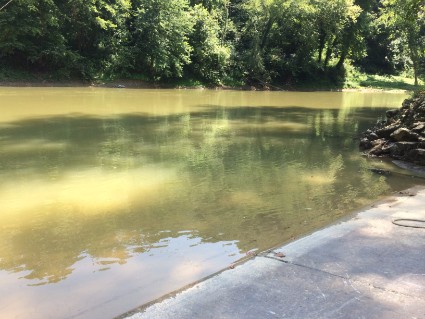
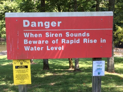
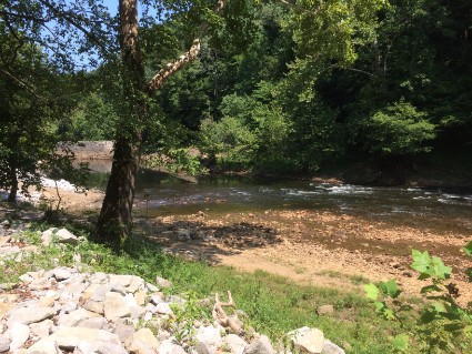
Since there weren't any nice places on the trail to sit and eat our lunch (plus the bugs wouldn't leave us alone) we stopped at a park that we saw on the drive here. It was a small state park that the Army Corps of Engineers built when they built Nolin Dam. It was just north of Mammoth Cave National Park and had a nice picnic area.
Thursday 8/10/17 There's a lot to see and do in the Mammoth Cave National Park area and I'm glad we got back here after 20 years. But as I said above, we were a little disappointed with the cave tours. I'm not sure if it's because we've been here before or if after 20 years our opinion of a great cave has changed. But if you've never been here it's something you have to see. Today we packed up and headed to Natural Bridge State Park in Slade, Kentucky.
Questions or comments? Contact us today.
